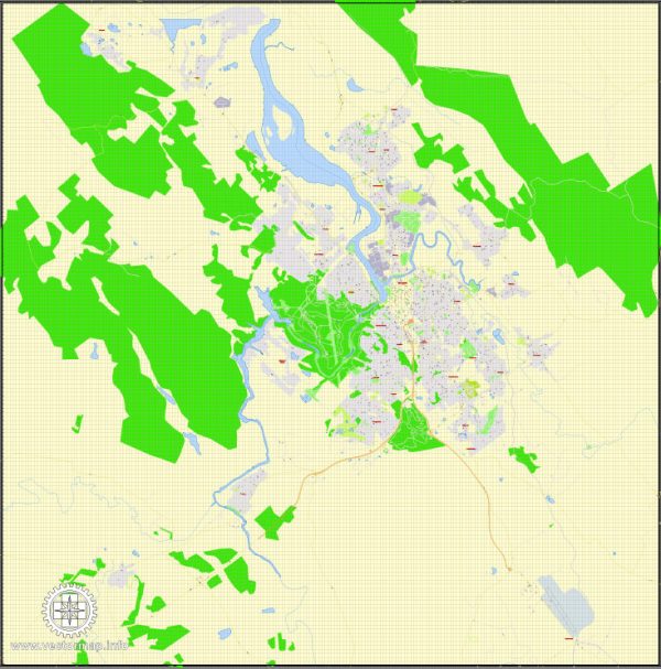
Launceston is a city in northern Tasmania, Australia. We provide you with the most accurate and up-to-date vector maps in Adobe Illustrator, PDF and other formats, designed for editing and printing. Please read the vector map descriptions carefully.
Waterways:
- Tamar River: The Tamar River is a significant waterway that runs through Launceston. It is an estuary with tidal influences and plays a crucial role in the city’s geography and economy.
Bridges:
- Batman Bridge: This bridge spans the Tamar River to the northwest of Launceston. It is a distinctive bridge known for its unique design and is a key transportation link in the region.
- Kings Bridge: Located in the central part of Launceston, Kings Bridge crosses the North Esk River and connects the city to the northern suburbs.
- Charles Street Bridge: Another important bridge in Launceston, it crosses the South Esk River and connects the southern parts of the city.
Main Roads:
- Bass Highway (National Highway 1): The Bass Highway is a major road that connects Launceston to the northwest coast of Tasmania, providing a vital link for transportation.
- Midland Highway (National Highway 1): This highway is a key north-south route connecting Launceston to Hobart, the capital of Tasmania.
- West Tamar Highway (A7): Running along the western bank of the Tamar River, this highway connects Launceston to the surrounding areas in the West Tamar region.
- East Tamar Highway (A8): This highway follows the eastern bank of the Tamar River and connects Launceston to areas in the East Tamar region.
It’s essential to check for any updates or changes in infrastructure and roadways, as these details may evolve over time. Local government websites, maps, and navigation apps can provide real-time information about the city’s waterways, bridges, and roads.


 Author: Kirill Shrayber, Ph.D. FRGS