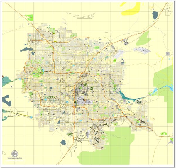
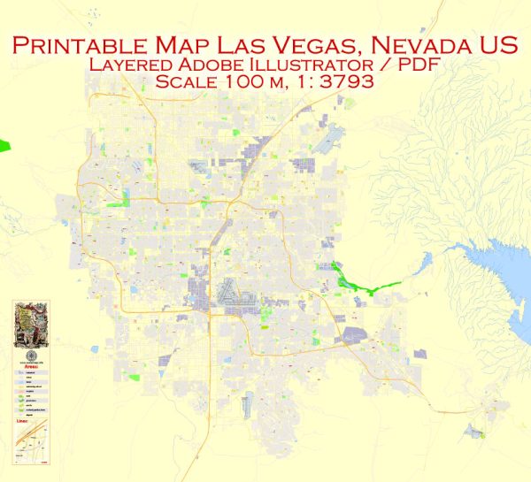
Las Vegas, Nevada, is known for its famous Las Vegas Strip, which is home to many of the city’s major resorts and attractions. Here are some principal streets and roads in Las Vegas:
- Las Vegas Boulevard (The Strip):
- The most famous street in Las Vegas, commonly known as “The Strip.”
- Lined with iconic hotels, casinos, and entertainment venues.
- Major resorts on the Strip include the Bellagio, Caesars Palace, The Venetian, Mandalay Bay, and many more.
- Fremont Street:
- Located in downtown Las Vegas, it’s a historic street known for the Fremont Street Experience, a pedestrian mall with a giant LED canopy.
- Features several classic casinos and entertainment options.
- Tropicana Avenue:
- Runs east-west and intersects with the Las Vegas Strip.
- The Tropicana Hotel and Casino is a notable landmark located on this avenue.
- Flamingo Road:
- Another east-west road that intersects with the Strip.
- The Flamingo Hotel and Casino is a major property located on this road.
- Paradise Road:
- Runs parallel to the Strip on the east side.
- McCarran International Airport is accessible via Paradise Road.
- Spring Mountain Road:
- Located just west of the Strip.
- Known for its diverse dining options, including a concentration of Asian restaurants.
- Sahara Avenue:
- Another major east-west road running parallel to the Strip.
- The Sahara Hotel and Casino, now known as the Sahara Las Vegas, is located on this avenue.
- Dean Martin Drive:
- Runs parallel to the west side of the Strip.
- Provides access to several resorts and is named after the legendary entertainer Dean Martin.
- Desert Inn Road:
- Historically significant, though the original Desert Inn hotel is no longer standing.
- Provides access to the Wynn and Encore resorts.
- Frank Sinatra Drive:
- Located near the Wynn and Encore resorts.
- Named after the iconic singer Frank Sinatra.
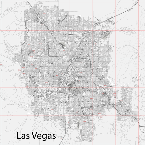
These are just a few of the principal streets and roads in Las Vegas. The city has a grid-like street layout, and many other smaller streets connect the various neighborhoods and attractions throughout the metropolitan area.

 Author: Kirill Shrayber, Ph.D. FRGS