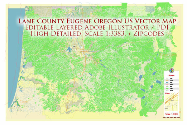
Lane County and Eugene, Oregon, a general information about the area based on local data. We provide you with the most accurate and up-to-date vector maps in Adobe Illustrator, PDF and other formats, designed for editing and printing. Please read the vector map descriptions carefully.
Lane County, Oregon: Lane County is located in the western part of the state of Oregon, USA. It encompasses a diverse range of landscapes, including the Pacific coastline, forests, and agricultural areas. Major waterways in Lane County include the Willamette River and the McKenzie River. The Willamette River runs through the county, providing a significant water route.
Eugene, Oregon: Eugene is the largest city in Lane County and is situated along the Willamette River. The city is known for its outdoor recreational opportunities, parks, and the University of Oregon. Eugene is well-connected by a network of roads and bridges.
Major Waterways:
- Willamette River: Flows through Eugene and is a major waterway in the region.
- McKenzie River: A tributary of the Willamette River, known for its scenic beauty.
Bridges:
- DeFazio Bike Bridge: A pedestrian and bicycle bridge spanning the Willamette River in Eugene.
- Ferry Street Bridge: Another important bridge connecting different parts of Eugene.
Main Roads:
- Interstate 5 (I-5): Runs north-south through Lane County, connecting Eugene to other cities in Oregon and beyond.
- Oregon Route 126 (OR-126): Connects Eugene to the coast, passing through scenic landscapes.
- Coburg Road: A major road in Eugene connecting downtown to the northeastern part of the city.
- Franklin Boulevard: Runs through Eugene, connecting the University of Oregon campus to downtown.
Please note that infrastructure and road networks can change, so it’s advisable to check with local authorities or use online mapping services for the most up-to-date information on waterways, bridges, and roads in Lane County and Eugene.


 Author: Kirill Shrayber, Ph.D. FRGS