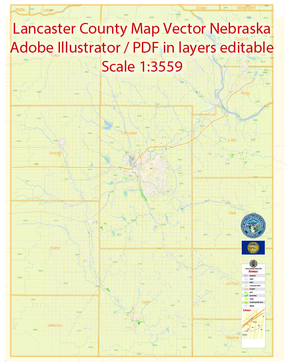
Principal streets and roads in Lancaster, Nebraska, some general information about Lancaster County and its road network.
Lancaster County is located in southeastern Nebraska, and the city of Lincoln serves as its county seat. Lincoln is the second-most populous city in Nebraska and has a well-developed road infrastructure.
Some key roads and streets in Lincoln, Lancaster’s largest city, include:
- O Street (O St): O Street is one of the main east-west thoroughfares in Lincoln, and it serves as a major commercial corridor.
- N Street (N St): Similar to O Street, N Street is another important east-west road in Lincoln.
- 27th Street (S 27th St): 27th Street is a significant north-south road that runs through the city.
- 84th Street (S 84th St): 84th Street is another major north-south road in Lincoln.
- Cornhusker Highway (US-6): This highway runs east-west through Lincoln, connecting it to other parts of Nebraska.
- Interstate 80 (I-80): While not within the city limits, Interstate 80 is a major east-west interstate that passes just north of Lincoln, providing a crucial transportation route.
Please note that the road network and infrastructure may change over time, and it’s always a good idea to check with local sources for the most up-to-date information on streets and roads in Lancaster, Nebraska.
We provide you with the most accurate and up-to-date vector maps in Adobe Illustrator, PDF and other formats, designed for editing and printing. Please read the vector map descriptions carefully.


 Author: Kirill Shrayber, Ph.D.