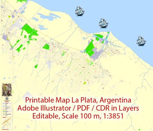
La Plata, Argentina, is the capital city of the Buenos Aires Province and is located on the eastern shore of the Paraná River estuary. While it may not have as extensive a network of waterways, bridges, and main roads as some other major cities, it does have several notable features:
Waterways:
- Paraná River Estuary: La Plata is situated on the eastern shore of the Paraná River estuary. While the city itself is not directly on the river, the estuary plays a significant role in the region’s geography.
Bridges:
- Puente Colgante (Suspension Bridge): This iconic suspension bridge connects the cities of La Plata and Ensenada, spanning over the Santiago del Estero River. It is a notable landmark in the area.
Main Roads:
- Avenida 7 (7th Avenue): Avenida 7 is one of the main avenues in La Plata and runs through the city, connecting various neighborhoods and commercial areas.
- Avenida 32 (32nd Avenue): Another important avenue, Avenida 32, intersects with Avenida 7 and contributes to the city’s road network.
- Avenida 19 (19th Avenue): A major road that also plays a significant role in La Plata’s transportation infrastructure.
- Avenida 60 (60th Avenue): This avenue is a key thoroughfare in the city and is likely to be used for commuting and transportation.
It’s worth noting that La Plata has a well-planned layout, with a grid-like pattern of streets and avenues. The city was designed in the late 19th century by urban planner Pedro Benoit and has a unique radial pattern with diagonal avenues. While it may not have an extensive network of waterways like some other cities, its roads and avenues are designed to facilitate easy navigation through different parts of the city.
We provide you with the most accurate and up-to-date vector maps in Adobe Illustrator, PDF and other formats, designed for editing and printing. Please read the vector map descriptions carefully.


 Author: Kirill Shrayber, Ph.D. FRGS