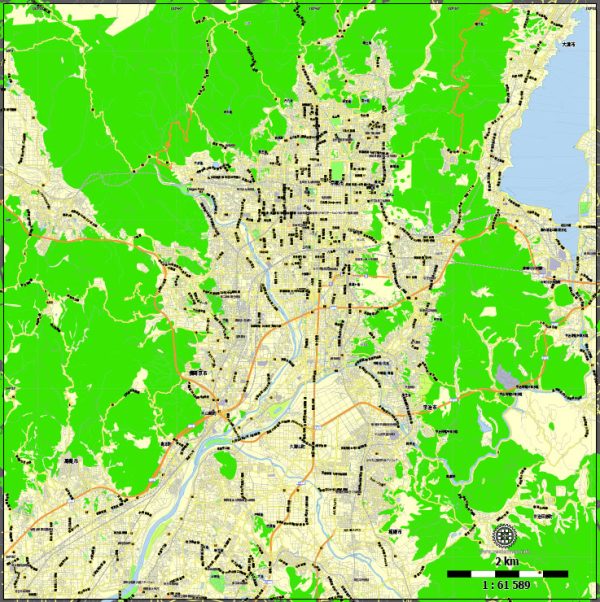
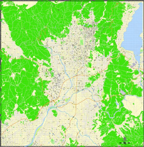
Kyoto, a city in Japan known for its rich cultural heritage and historic significance, is situated in the central part of the island of Honshu. While Kyoto is not particularly known for its extensive waterways, it has a few notable ones, along with numerous bridges and main roads that contribute to the city’s charm. We provide you with the most accurate and up-to-date vector maps in Adobe Illustrator, PDF and other formats, designed for editing and printing. Please read the vector map descriptions carefully.
1. Kamo River (Kamogawa):
- The Kamo River is one of the primary waterways flowing through Kyoto.
- It is a popular spot for leisurely walks and cherry blossom viewing during the spring season.
- Some well-known bridges span the Kamo River, offering picturesque views of the city.
2. Takase River (Takasegawa):
- The Takase River is another watercourse in Kyoto, although it is smaller in comparison to the Kamo River.
- Historically, it was used for transporting goods and played a role in the city’s commerce.
Notable Bridges:
- Sanjo Ohashi: This bridge is one of the iconic landmarks in Kyoto and spans the Kamo River. It’s located in the central part of the city.
- Shijo Ohashi: Another important bridge crossing the Kamo River, connecting the Gion district with the commercial Shijo area.
Main Roads:
- Shijo Street: Shijo-dori is a major east-west street in Kyoto, known for its shopping and entertainment districts.
- Kawaramachi Street: Parallel to the Kamo River, Kawaramachi-dori is a bustling street with shops, restaurants, and entertainment options.
- Higashiyama District: While not a single road, the Higashiyama district is a historic area with narrow streets and traditional machiya (townhouses).
Important Note:
- Kyoto’s charm lies in its historic districts, temples, and traditional architecture. While not as modern or expansive as some other Japanese cities, it offers a unique blend of ancient and modern elements.
It’s advisable to check more recent sources for the latest information on Kyoto’s infrastructure and developments. Additionally, exploring Kyoto on foot or by bicycle is a great way to immerse yourself in the city’s unique atmosphere.


 Author: Kirill Shrayber, Ph.D. FRGS