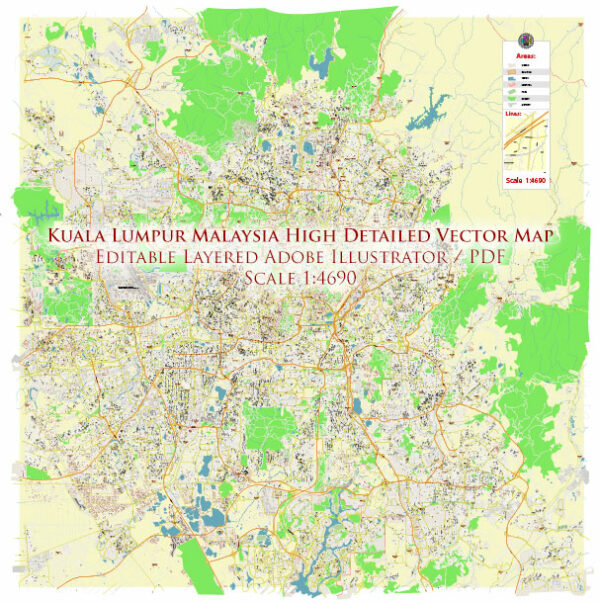
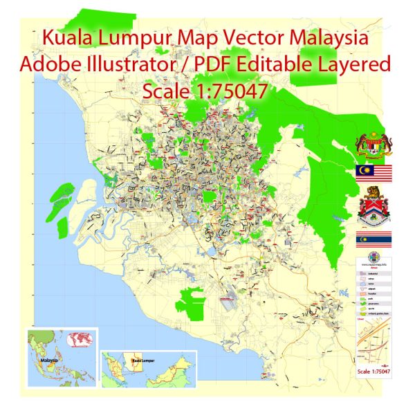
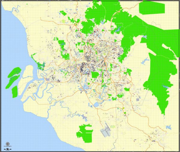
Kuala Lumpur, the capital city of Malaysia, has several principal waterways, bridges, and main roads that contribute to its infrastructure and connectivity. We provide you with the most accurate and up-to-date vector maps in Adobe Illustrator, PDF and other formats, designed for editing and printing. Please read the vector map descriptions carefully.
- Klang River:
- Klang River is one of the main waterways in Kuala Lumpur.
- It flows through the city, dividing it into two main regions: Kuala Lumpur City Centre (KLCC) and Kuala Lumpur Old Town.
- Gombak River:
- Another significant river in Kuala Lumpur, the Gombak River, merges with the Klang River near the Masjid Jamek area.
- Bridges:
- Sultan Abdul Samad Building and Jamek Mosque Bridges: These bridges connect the two sides of the Klang River near the historic Masjid Jamek area.
- Ampang-Kuala Lumpur Elevated Highway (AKLEH) Bridge: This bridge spans the Klang River and is part of the elevated highway connecting Ampang to Kuala Lumpur.
- Main Roads:
- Jalan Tun Razak: A major road that runs through the city, connecting the northern and southern parts of Kuala Lumpur.
- Jalan Bukit Bintang: Located in the Golden Triangle area, it is a popular shopping and entertainment district.
- Jalan Ampang: Connects the city center with the northern suburbs and is known for its embassies and upscale developments.
- Federal Highway: Connects Kuala Lumpur to nearby Petaling Jaya and is a crucial route for commuters.
- Jalan Loke Yew: A significant road that intersects with Jalan Tun Razak, facilitating traffic flow in various directions.
- SMART Tunnel: An innovative tunnel and stormwater management system designed to alleviate flooding and reduce traffic congestion.
- Public Transportation:
- LRT (Light Rail Transit): Kuala Lumpur has an extensive LRT system, including lines such as Kelana Jaya Line, Ampang Line, and the upcoming MRT (Mass Rapid Transit) lines.
- Monorail: The Kuala Lumpur Monorail serves key areas, providing an elevated rail transport option.
Please keep in mind that urban development is dynamic, and new infrastructure projects may have been initiated or completed since my last update. It’s recommended to check with local authorities or recent sources for the most up-to-date information on Kuala Lumpur’s waterways, bridges, and main roads.


 Author: Kirill Shrayber, Ph.D. FRGS