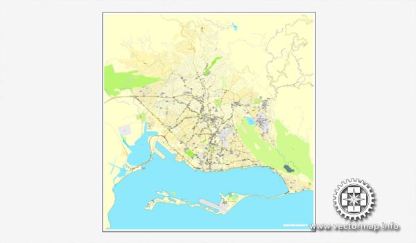
Kingston, the capital city of Jamaica, is a vibrant and bustling metropolis with a network of streets and roads that connect its various neighborhoods and districts. A general overview of some of the principal streets and roads in Kingston. We provide you with the most accurate and up-to-date vector maps in Adobe Illustrator, PDF and other formats, designed for editing and printing. Please read the vector map descriptions carefully. Here are some key streets and roads in Kingston:
- Hope Road: This major thoroughfare runs through the heart of Kingston and is known for its commercial and cultural significance. The Bob Marley Museum is located along Hope Road, as well as several government offices and educational institutions.
- Half-Way Tree Road: Named after the prominent Half-Way Tree transportation hub, this road is a key artery in Kingston. It connects Half-Way Tree to various neighborhoods and business districts.
- Constant Spring Road: Another important road in Kingston, Constant Spring Road connects Half-Way Tree to the Constant Spring area. It is lined with businesses, shopping centers, and residential areas.
- Knutsford Boulevard: Located in the New Kingston area, Knutsford Boulevard is a central hub for business and entertainment. It is home to hotels, restaurants, corporate offices, and the Emancipation Park.
- Spanish Town Road: This road connects Kingston to Spanish Town and is a major route for transportation and commerce. It passes through various neighborhoods and industrial areas.
- Barbican Road: Running through the Barbican area, this road connects to Liguanea and provides access to shopping centers, schools, and residential communities.
- Mountain View Avenue: This road is situated in eastern Kingston and provides access to communities such as August Town and Papine. It offers scenic views of the Blue Mountains.
- Molynes Road: Connecting the Half-Way Tree area to Molynes Square and beyond, this road is an important route for both residential and commercial purposes.
- Maxfield Avenue: This road runs through the Maxfield Park area and connects to other parts of Kingston. It is known for its mix of residential and commercial establishments.
- Windward Road: Situated along the coastline, Windward Road provides access to coastal neighborhoods and offers views of the Caribbean Sea.
Keep in mind that Kingston’s road network is extensive, and there are many more streets and roads beyond those listed here. Additionally, road conditions and infrastructure may have changed since my last update, so it’s advisable to check with local sources for the latest information.


 Author: Kirill Shrayber, Ph.D. FRGS