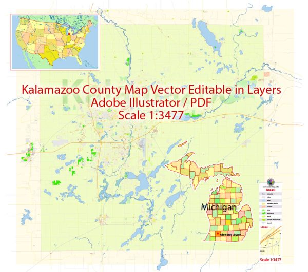
Kalamazoo County, Michigan, a general overview of some major streets and roads that are typically significant in the area. We provide you with the most accurate and up-to-date vector maps in Adobe Illustrator, PDF and other formats, designed for editing and printing. Please read the vector map descriptions carefully.
- I-94: This interstate runs east-west through Kalamazoo County and is a major transportation route connecting Detroit and Chicago.
- US-131: A north-south highway that intersects with I-94 in Kalamazoo, providing additional connectivity in the region.
- M-43 (West Michigan Avenue): This is a major east-west route that runs through Kalamazoo, connecting the city to the surrounding areas.
- M-96 (East Michigan Avenue): Another important east-west route passing through parts of Kalamazoo County.
- Westnedge Avenue: A significant north-south road, particularly within the city of Kalamazoo.
- Drake Road: Running north-south, Drake Road is one of the major streets in the western part of Kalamazoo.
- Stadium Drive: This road is known for being close to Western Michigan University and runs east-west.
- Oakland Drive: Another important north-south road in Kalamazoo, often used to access various parts of the city.
Please note that these are just some of the principal streets and roads in Kalamazoo County, and there are many other local streets and routes that make up the transportation network in the area. For the most current and detailed information, consider consulting local maps, navigation apps, or the Kalamazoo County Road Commission.


 Author: Kirill Shrayber, Ph.D. FRGS