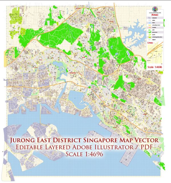
Jurong East is a planning area and residential town located in the western part of Singapore. It is known for being a major regional center with a mix of residential, commercial, and industrial developments. We provide you with the most accurate and up-to-date vector maps in Adobe Illustrator, PDF and other formats, designed for editing and printing. Please read the vector map descriptions carefully. Here are some principal streets and roads in the Jurong East district:
- Jurong Gateway Road: This road is at the heart of the Jurong East Central Business District (CBD) and is surrounded by shopping malls, office buildings, and residential complexes.
- Jurong Town Hall Road: This road runs through the Jurong East Town Center and connects to major facilities like the Ng Teng Fong General Hospital and the Jurong East MRT Station.
- Jurong East Street 21, 31, 32, etc.: The residential areas in Jurong East are often organized into streets and numbered blocks. These streets are lined with Housing and Development Board (HDB) flats.
- Boon Lay Way: This major road runs through Jurong East and connects it to other parts of the island. It is a significant transportation route in the area.
- Toh Guan Road: Toh Guan Road is known for its industrial and commercial developments, including warehouses and business parks.
- International Business Park (IBP) Road: This road is within the International Business Park area in Jurong East, which houses various multinational corporations and technology companies.
- Jurong East Avenue 1 and 2: These avenues are part of the residential areas in Jurong East, providing access to housing estates.
- Yuan Ching Road: This road runs along the Jurong Lake and is close to the Chinese Garden and Japanese Garden, offering recreational opportunities.
Please note that the development and infrastructure in Jurong East may have evolved, and it’s recommended to check with local sources or maps for the most up-to-date information on the streets and roads in the area.


 Author: Kirill Shrayber, Ph.D. FRGS