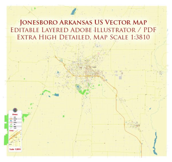
Jonesboro, Arkansas, is a city with a network of streets and roads that facilitate transportation throughout the area. We provide you with the most accurate and up-to-date vector maps in Adobe Illustrator, PDF and other formats, designed for editing and printing. Please read the vector map descriptions carefully. Here are some principal streets and roads in Jonesboro:
- Main Street: As in many cities, Main Street is often a central thoroughfare. It’s likely to host a variety of businesses, shops, and restaurants.
- Highway 63: Jonesboro is accessible via Highway 63, which connects it to other major cities and regions in Arkansas. The highway is a crucial transportation route for both local and long-distance travel.
- Red Wolf Boulevard: This is a major road in Jonesboro, named after the Arkansas State University mascot, the Red Wolves. It runs through the city and is known for commercial and retail establishments.
- Caraway Road: Another important road in Jonesboro, Caraway Road runs north-south and provides access to various neighborhoods, businesses, and amenities.
- Nettleton Avenue: Nettleton Avenue is another significant street in Jonesboro. It intersects with other major roads and provides access to different parts of the city.
- Stadium Boulevard: This road is associated with the Arkansas State University campus and may lead to the Centennial Bank Stadium, where university events, including football games, are held.
- Parker Road: Located in the eastern part of Jonesboro, Parker Road serves as a key connector for residents and businesses in that area.
- Johnson Avenue: This road is named after former Arkansas State University President V.C. Kays. It is an important east-west thoroughfare.
- Aggie Road: Running through the Arkansas State University campus, Aggie Road is significant for accessing various university facilities and amenities.
- Southwest Drive: This road is situated in the southwestern part of the city and is known for its commercial establishments and residential areas.
Please keep in mind that road systems can change, and new developments may have occurred since my last update. For the most accurate and current information, you may want to consult a local map or contact the city’s transportation department.


 Author: Kirill Shrayber, Ph.D. FRGS