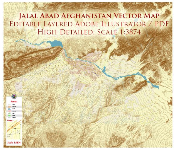
Some general information based on common features of cities in Afghanistan. We provide you with the most accurate and up-to-date vector maps in Adobe Illustrator, PDF and other formats, designed for editing and printing. Please read the vector map descriptions carefully.
Jalalabad, the capital of Nangarhar Province in eastern Afghanistan, likely has a network of streets and roads that include both main thoroughfares and smaller residential streets. Some key points you might find in a city like Jalalabad include:
- Main Roads and Highways:
- The city is likely to be connected to major highways or roads that link it to other significant cities and regions.
- Look for roads that connect Jalalabad to Kabul, the capital of Afghanistan, and other nearby cities.
- City Center:
- The city center would likely feature a concentration of important government buildings, businesses, and commercial areas.
- Major intersections or roundabouts might be present in the city center.
- Residential Areas:
- Residential areas might consist of a grid of smaller streets and lanes with houses, shops, and local amenities.
- Pay attention to neighborhoods that are distinct for their housing types or community features.
- Landmarks and Points of Interest:
- Jalalabad may have landmarks, parks, or public spaces that serve as meeting points or recreational areas.
- Consider locations such as schools, mosques, and hospitals as significant points.
- Infrastructure:
- Infrastructure like bridges, overpasses, and underpasses may be present to facilitate the flow of traffic.
- Keep an eye out for any notable infrastructure projects that have been completed or are under construction.
For the most accurate and up-to-date information, I recommend checking with local authorities, maps, or navigation services. It’s also possible that recent geopolitical events may have influenced the city’s infrastructure, so consider the current situation when looking for specific details.


 Author: Kirill Shrayber, Ph.D. FRGS