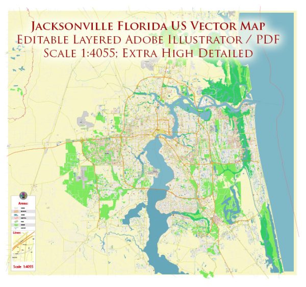
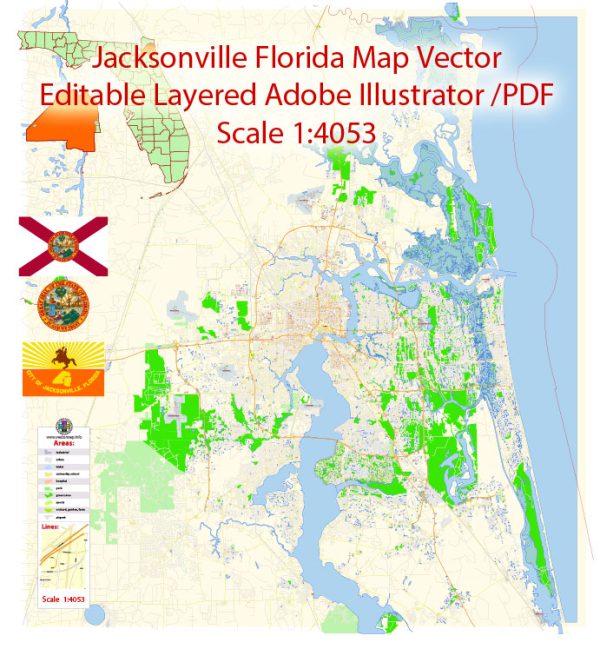
Jacksonville, Florida, is a large city with an extensive network of streets and roads. We provide you with the most accurate and up-to-date vector maps in Adobe Illustrator, PDF and other formats, designed for editing and printing. Please read the vector map descriptions carefully. Some of the principal streets and roads in the area:
- Interstate 95 (I-95): I-95 is a major north-south interstate highway that runs through Jacksonville, connecting it with cities like Miami to the south and cities in the northeastern United States to the north.
- Interstate 10 (I-10): I-10 is a major east-west interstate highway that passes through Jacksonville, providing connections to cities like Tallahassee to the west and Jacksonville Beach to the east.
- U.S. Highway 1 (US-1): US-1 is a north-south highway that runs through Jacksonville, connecting the city with other parts of Florida.
- Florida State Road 9A (FL-9A): This is a beltway around Jacksonville, providing a partial loop around the city and connecting with I-295.
- Interstate 295 (I-295): I-295 is a beltway that encircles Jacksonville, providing a route around the city. It connects with major highways like I-95, I-10, and FL-9A.
- Arlington Expressway (FL-115): This east-west road connects downtown Jacksonville with the Arlington neighborhood and the Mathews Bridge, providing access to the beaches.
- J. Turner Butler Boulevard (FL-202): This east-west route connects the Southside area of Jacksonville with the beaches, providing access to popular destinations like Jacksonville Beach.
- Beach Boulevard (US-90): Running east-west, Beach Boulevard is a major road that connects Jacksonville with its beach communities, including Jacksonville Beach and Neptune Beach.
- Atlantic Boulevard (US-90/FL-10): Another important east-west road, Atlantic Boulevard runs through various neighborhoods in Jacksonville, providing access to the beaches and downtown.
- San Jose Boulevard (FL-13): This north-south road runs through the southern part of Jacksonville, connecting neighborhoods and providing access to shopping and dining areas.
- Roosevelt Boulevard (US-17): Running north-south, Roosevelt Boulevard is a significant road connecting Jacksonville with the Ortega neighborhood and Naval Air Station Jacksonville.
These are just a few examples, and the road network in Jacksonville is extensive. The city is divided into various neighborhoods, each with its own network of streets. Major roads often pass through or near these neighborhoods, providing essential connections for residents and visitors alike. Keep in mind that road names and routes can change, so it’s advisable to consult a current map or navigation system for the latest information.


 Author: Kirill Shrayber, Ph.D. FRGS