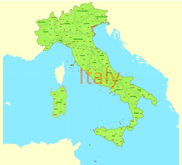
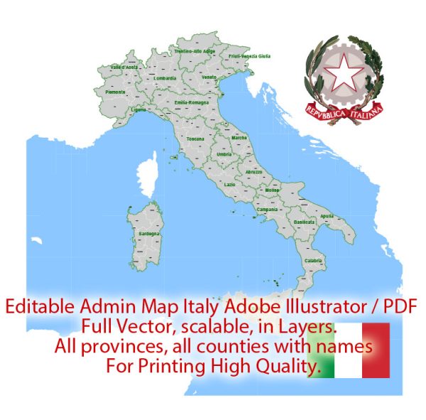
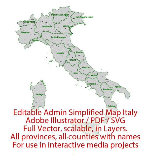
Italy is a country located in Southern Europe and is known for its rich history, art, and culture. The country is divided into 20 regions, each with its own distinct character and attractions. Here are some of Italy’s main cities and a brief description of them:
- Rome (Roma):
- The capital city of Italy and home to iconic landmarks such as the Colosseum, Roman Forum, and Vatican City.
- Vatican City is an independent city-state within Rome and the headquarters of the Roman Catholic Church.
- Milan (Milano):
- Italy’s financial and fashion capital, known for its high-end shopping, trendy restaurants, and cultural institutions.
- The Gothic cathedral, known as the Duomo, is a prominent landmark.
- Venice (Venezia):
- Famous for its canals, historic architecture, and unique transportation on gondolas.
- St. Mark’s Square, the Rialto Bridge, and the Grand Canal are major attractions.
- Florence (Firenze):
- Considered the birthplace of the Renaissance, Florence is renowned for its art and architecture.
- The Uffizi Gallery and the Florence Cathedral (Duomo) are must-visit landmarks.
- Naples (Napoli):
- Located in southern Italy, Naples is known for its vibrant street life, historic sites, and cuisine.
- Mount Vesuvius and the ancient city of Pompeii are nearby attractions.
- Turin (Torino):
- A city in northern Italy known for its cultural heritage, museums, and as a major business and cultural center.
- The Mole Antonelliana and the Egyptian Museum are notable landmarks.
- Bologna:
- Famous for its well-preserved medieval architecture, Bologna is also known for its cuisine, particularly Bolognese sauce.
- The Two Towers (Due Torri) are iconic symbols of the city.
- Palermo:
- The capital of the autonomous region of Sicily, Palermo has a mix of architectural styles reflecting its diverse history.
- The Palermo Cathedral and the Norman Palace are key landmarks.
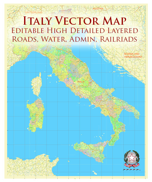
Main roads and highways in Italy include the following:
- Autostrada del Sole (A1):
- Connects Milan in the north to Naples in the south, passing through Bologna, Florence, and Rome.
- Autostrada Adriatica (A14):
- Runs along the Adriatic coast, connecting Bologna to the region of Puglia in the southeast.
- Autostrada dei Fiori (A10):
- Connects Genoa to the French border, passing through the Italian Riviera.
- Autostrada del Brennero (A22):
- Connects Modena to the Brenner Pass at the Austrian border, passing through the Alps.
- Aurelia (SS1):
- A coastal road running along the Tyrrhenian Sea, connecting Rome to the French border.
- Via Appia (Appian Way):
- One of the ancient Roman roads, known as the “Queen of Roads,” connecting Rome to the southern regions.
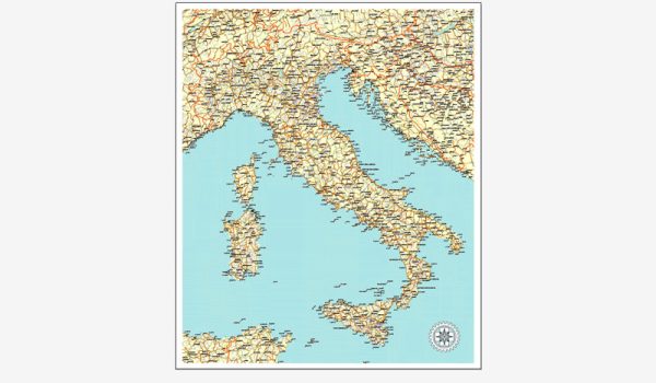
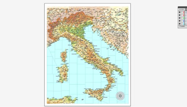
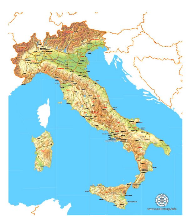
These are just a few examples, and Italy has an extensive network of roads and highways connecting cities and regions throughout the country.

 Author: Kirill Shrayber, Ph.D.