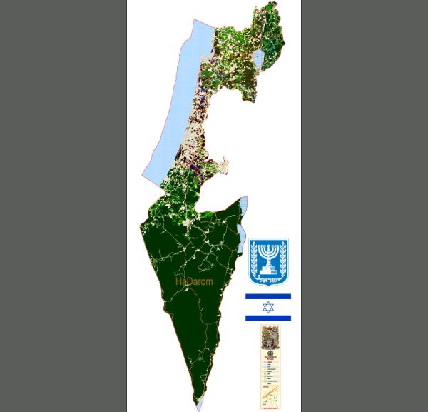
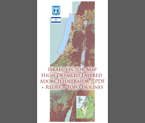
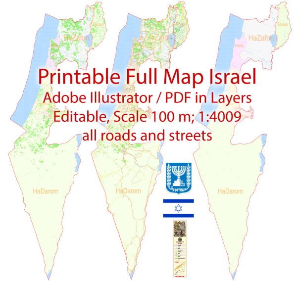
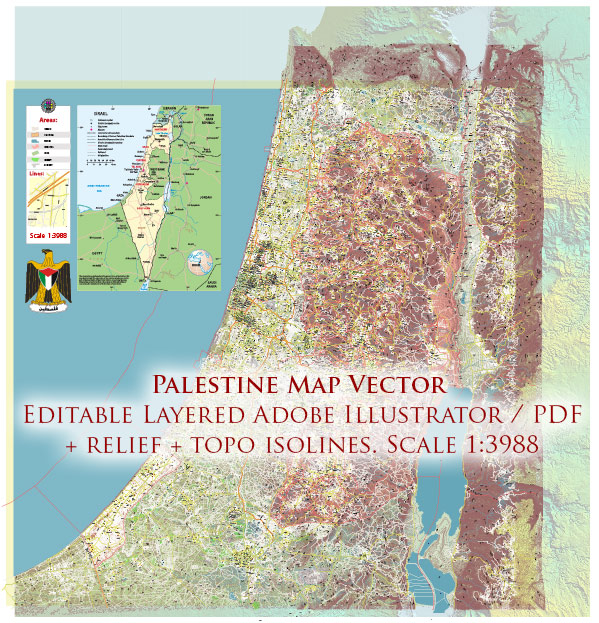
Israel is a country located in the Middle East, and it is known for its rich history, diverse culture, and a mix of ancient and modern attractions. Here are some of the main cities and key roads in Israel:
Main Cities:
- Jerusalem:
- The capital of Israel and one of the oldest cities in the world.
- Home to significant religious sites, including the Western Wall, the Church of the Holy Sepulchre, and the Dome of the Rock.
- Divided into the Old City and the modern city.
- Tel Aviv:
- Israel’s economic and cultural center.
- Known for its modern architecture, vibrant nightlife, and Mediterranean beaches.
- Features the UNESCO-listed White City, known for its collection of Bauhaus-style buildings.
- Haifa:
- A major port city located on the Mediterranean coast.
- Home to the Baha’i World Centre and beautiful terraced gardens.
- Important industrial and high-tech hub.
- Beersheba:
- The largest city in the Negev desert.
- A center for technology and cyber industries.
- Hosts the Ben-Gurion University of the Negev.
- Eilat:
- A resort city located on the southern tip of Israel, along the Red Sea.
- Known for its beaches, coral reefs, and as a popular destination for water sports.
Main Roads:
- Highway 1 (Jerusalem-Tel Aviv Highway):
- Connects Jerusalem and Tel Aviv, two major cities in Israel.
- A vital transportation route.
- Highway 2 (Coastal Highway):
- Runs along the Mediterranean coast, connecting the major cities and towns along the coast.
- Important for both transportation and scenic drives.
- Highway 4:
- Connects north and south along the coast, passing through major cities like Tel Aviv and Haifa.
- Highway 6 (Trans-Israel Highway):
- A toll highway that runs north to south, providing a faster route through the center of the country.
- Highway 90:
- Runs along the Jordan Valley, connecting the Sea of Galilee in the north to the Dead Sea and Eilat in the south.
These roads and cities form a network that facilitates transportation and connectivity throughout Israel, contributing to its economic and cultural dynamism. We provide you with the most accurate and up-to-date vector maps in Adobe Illustrator, PDF and other formats, designed for editing and printing. Please read the vector map descriptions carefully.


 Author: Kirill Shrayber, Ph.D. FRGS