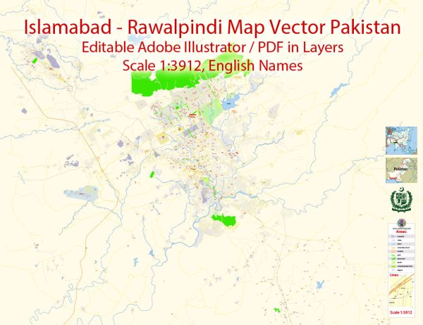
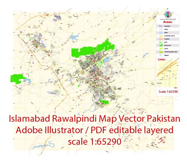
Islamabad and Rawalpindi are twin cities in Pakistan, and they are located adjacent to each other. Each city has its own distinct road network, and together they form a well-connected urban area. Here’s a brief description of some principal streets and roads in both Islamabad and Rawalpindi:
Islamabad:
- Constitution Avenue:
- This is one of the main avenues in Islamabad and is home to important government buildings, including the Parliament House.
- Jinnah Avenue:
- Running through the heart of the city, Jinnah Avenue is a major commercial and business hub, featuring high-end shopping centers and office buildings.
- Faisal Avenue:
- Connecting key areas in Islamabad, Faisal Avenue is an important road that passes through sectors F-6 and F-7.
- Margalla Road:
- This road offers picturesque views of the Margalla Hills and connects various sectors on the foothills of the mountains.
- Kashmir Highway:
- Providing access to the new sectors and housing societies, Kashmir Highway is a vital route for commuters.
Rawalpindi:
- Murree Road:
- One of the busiest and oldest roads in Rawalpindi, Murree Road connects the city to the popular hill station of Murree and is a major commercial and shopping area.
- Benazir Bhutto Road:
- Formerly known as the Mall Road, it is an important commercial and business district in Rawalpindi.
- Circular Road:
- Encircling the older parts of Rawalpindi, this road is a key route for local transportation and connects various neighborhoods.
- Airport Road:
- As the name suggests, this road leads to the Islamabad International Airport and serves as a crucial link between Rawalpindi and the airport.
- Adiala Road:
- Connecting Rawalpindi to Adiala and nearby areas, this road is significant for both residential and industrial purposes.
- Rawal Road:
- Another important road, Rawal Road connects different parts of Rawalpindi and is lined with various businesses and residential areas.
These roads are just a few examples, and both cities have an extensive network of streets and roads that cater to the needs of residents and visitors alike. We provide you with the most accurate and up-to-date vector maps in Adobe Illustrator, PDF and other formats, designed for editing and printing. Please read the vector map descriptions carefully.


 Author: Kirill Shrayber, Ph.D. FRGS