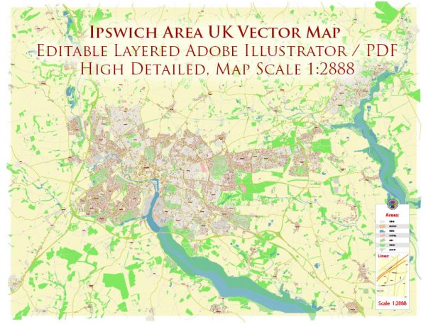
Ipswich is a historic town in Suffolk, England, with a rich heritage and a network of streets and roads that reflect its long history. We provide you with the most accurate and up-to-date vector maps in Adobe Illustrator, PDF and other formats, designed for editing and printing. Please read the vector map descriptions carefully. Here are some principal streets and roads in Ipswich:
- Princes Street: This is a major thoroughfare in Ipswich, known for its shops, restaurants, and businesses. It runs through the town center and connects to other key areas.
- St. Matthews Street: Another important street in the town center, St. Matthews Street is lined with shops and serves as a hub for local businesses.
- Westgate Street: This street is part of the town’s historic core and is known for its architecture, including some Tudor-style buildings. It connects to other central areas and is close to the Cornhill, a historic market square.
- Fore Street: Located in the waterfront area, Fore Street is close to the Ipswich Waterfront and features a mix of residential and commercial properties.
- Key Street: Found near the waterfront, Key Street is known for its maritime heritage and is close to the Ipswich Dock.
- Stoke Bridge: This bridge crosses the River Orwell and connects the eastern and western parts of Ipswich. It provides access to the town center and the waterfront.
- Portman Road: This road is famous for being the location of the Ipswich Town Football Club’s stadium, Portman Road Stadium.
- Norwich Road: Running to the west of the town center, Norwich Road is a major route with various amenities, including shops and schools.
- London Road: As the name suggests, this road leads towards London and serves as an important route for transportation.
- Cemetery Road: Located to the southwest of the town center, Cemetery Road is known for its historic cemetery and is a residential area.
These are just a few examples, and Ipswich has a comprehensive network of streets and roads that make up its urban layout. It’s always a good idea to consult a current local map or navigation tool for the most accurate and up-to-date information.


 Author: Kirill Shrayber, Ph.D. FRGS