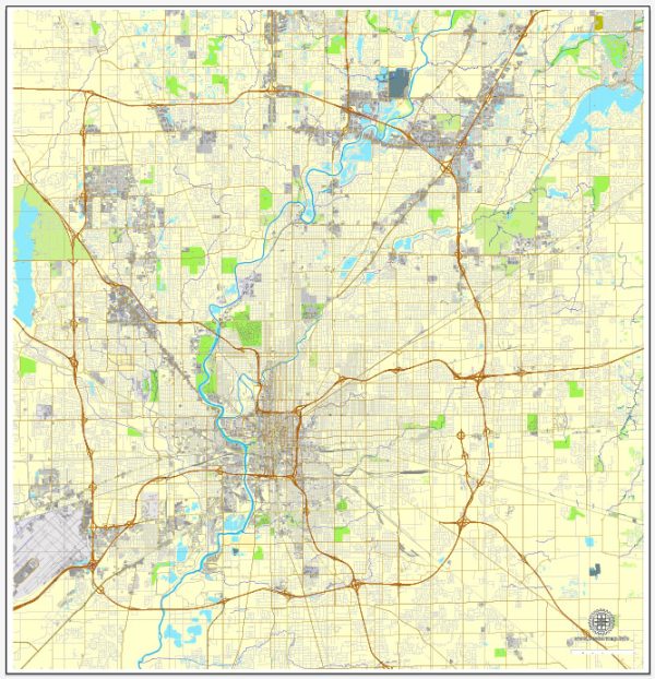
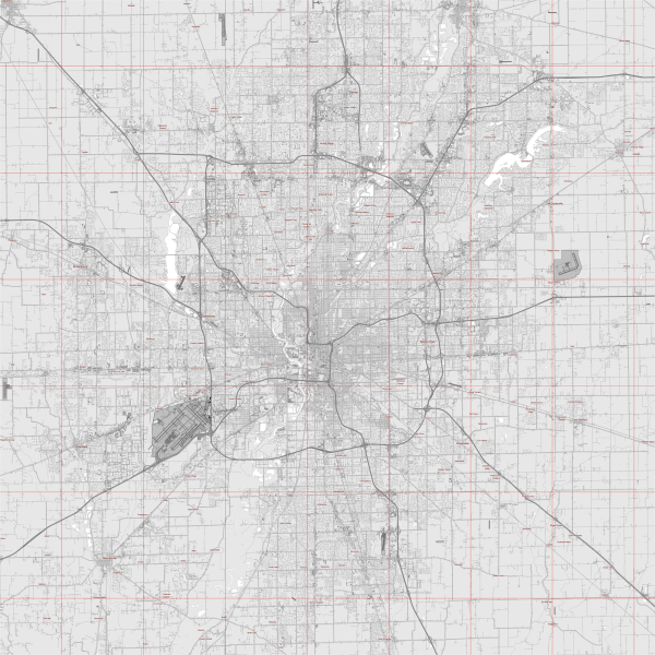
Indianapolis, the capital city of the state of Indiana in the United States, is known for its grid-like street layout and well-maintained road system. Here are some of the principal streets and roads in Indianapolis:
- Meridian Street: Running north-south, Meridian Street is one of the main thoroughfares in Indianapolis. It passes through the downtown area and is home to many historic buildings and landmarks.
- Washington Street: This is a major east-west street that cuts through the heart of downtown Indianapolis. It is a key route for both commuters and visitors.
- Interstate 465 (I-465): Also known as the “Beltway” or “I-465 Loop,” this highway encircles the city of Indianapolis, providing access to various neighborhoods and suburbs.
- Interstate 65 (I-65): Running north-south, I-65 is a major interstate that passes through Indianapolis, connecting the city with other major cities like Chicago to the northwest and Louisville to the south.
- Interstate 70 (I-70): This east-west interstate passes through Indianapolis, connecting the city with cities such as St. Louis to the west and Columbus, Ohio, to the east.
- Michigan Road: Historically significant, Michigan Road is an old north-south route that dates back to the 19th century. It played a crucial role in the development of the region.
- Fall Creek Parkway: This parkway follows the course of Fall Creek and provides a scenic route through the city. It’s a great option for those looking for a more leisurely drive.
- College Avenue: Running through several neighborhoods, College Avenue is a key north-south street with a mix of residential and commercial areas.
- Broad Ripple Avenue: Located in the Broad Ripple Village neighborhood, this street is known for its vibrant atmosphere, featuring numerous shops, restaurants, and entertainment venues.
- Kessler Boulevard: Kessler Boulevard is a major east-west road that extends across the city, providing access to various neighborhoods.
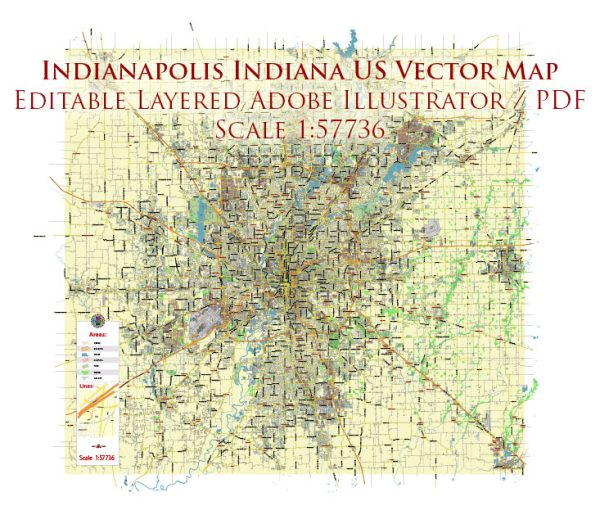
These are just a few examples of the principal streets and roads in Indianapolis. The city has a well-connected road network, making it relatively easy to navigate. We provide you with the most accurate and up-to-date vector maps in Adobe Illustrator, PDF and other formats, designed for editing and printing. Please read the vector map descriptions carefully.


 Author: Kirill Shrayber, Ph.D. FRGS