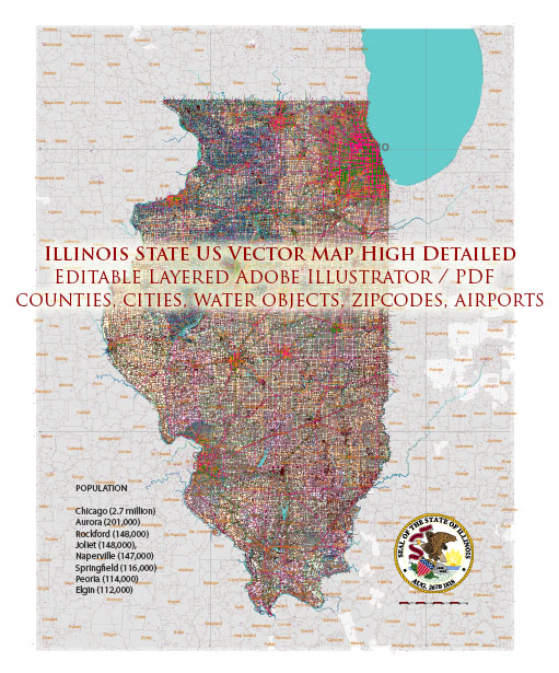
Illinois is a state located in the Midwestern region of the United States. It is known for its diverse geography, including farmland, forests, and the Great Lakes. The state has several major cities and a network of main roads.
We provide you with the most accurate and up-to-date vector maps in Adobe Illustrator, PDF and other formats, designed for editing and printing. Please read the vector map descriptions carefully. Here are some of the main cities and roads in Illinois:
Main Cities:
- Chicago: The largest city in Illinois and the third-most populous city in the United States. Chicago is a major financial and cultural hub, known for its iconic architecture, vibrant arts scene, and diverse neighborhoods.
- Springfield: The capital city of Illinois. It is located in the central part of the state and is known for its historical significance, including being the home of Abraham Lincoln.
- Aurora: Located in the Chicago metropolitan area, Aurora is the second-largest city in Illinois. It has a mix of industrial, residential, and commercial areas.
- Rockford: Situated in the northern part of the state, Rockford is known for its manufacturing and aerospace industries. It’s the third-largest city in Illinois.
- Peoria: Located along the Illinois River, Peoria is a city with a strong industrial and agricultural presence. It is also known for its medical facilities and research.
Main Roads:
- Interstate 90 (I-90): A major east-west interstate highway that connects Chicago to the western suburbs and extends across the northern part of the state.
- Interstate 94 (I-94): Runs north-south through Illinois, connecting Chicago to Wisconsin in the north and Indiana in the south.
- Interstate 55 (I-55): A north-south interstate that connects Chicago to St. Louis, Missouri, passing through central Illinois.
- Interstate 80 (I-80): An east-west interstate that spans the northern part of the state, connecting Chicago to the Quad Cities and beyond.
- U.S. Route 66: While no longer an official U.S. Route, historic Route 66 passed through Illinois, connecting Chicago to St. Louis. Portions of the route are still marked and preserved for nostalgic travelers.
- Illinois Route 64 (IL-64): An east-west state highway that runs from the Indiana border to the Iowa border, passing through the Chicago suburbs.
These cities and roads form a crucial part of Illinois’ transportation infrastructure and contribute to the state’s economic and cultural significance. Keep in mind that the specifics may change over time due to developments in infrastructure and urban planning.


 Author: Kirill Shrayber, Ph.D. FRGS