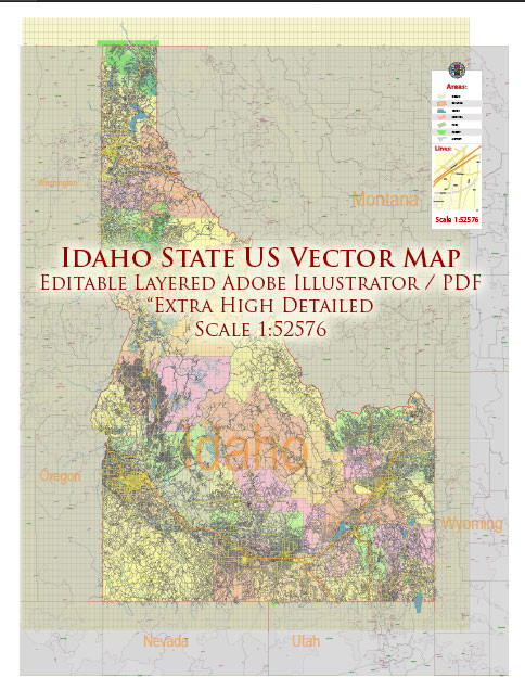
Idaho is a state located in the northwestern region of the United States. It is known for its diverse landscapes, including mountains, forests, and agricultural areas. The state is sparsely populated, but it offers natural beauty and outdoor recreational opportunities. Here are some of the main cities and roads in Idaho:
Main Cities:
- Boise: The capital and largest city of Idaho, situated in the southwestern part of the state. Boise is known for its cultural attractions, outdoor recreation, and a vibrant downtown area.
- Meridian: Located just west of Boise, Meridian is one of the fastest-growing cities in Idaho. It offers a mix of suburban and urban amenities.
- Nampa: Nampa is another city in the Boise metropolitan area and is known for its agricultural roots. It has a growing population and is an important part of the Treasure Valley region.
- Idaho Falls: Located in the eastern part of the state, Idaho Falls is a major city along the Snake River. It serves as a hub for the surrounding agricultural and recreational areas.
- Pocatello: Situated in southeastern Idaho, Pocatello is a regional center for education and commerce. It is home to Idaho State University.
- Coeur d’Alene: Located in the northern part of the state, Coeur d’Alene is known for its scenic lake, outdoor activities, and a charming downtown area.
- Twin Falls: Positioned in south-central Idaho, Twin Falls is named after the nearby waterfalls on the Snake River. It’s an important agricultural and commercial center.
Main Roads:
- Interstate 84 (I-84): A major east-west interstate that passes through Boise, connecting it to cities in Oregon and Utah.
- Interstate 15 (I-15): Running north-south, I-15 passes through the eastern part of the state, connecting Idaho Falls and Pocatello with cities in Utah and Montana.
- U.S. Route 93 (US-93): This highway travels north-south, connecting the southern part of Idaho, including Twin Falls, with Montana to the north.
- U.S. Route 20 (US-20): Running east-west, US-20 traverses the northern part of the state, connecting cities like Idaho Falls and Coeur d’Alene.
- State Highway 55 (SH-55): Connecting Boise with McCall and other communities in the central part of the state, SH-55 is a scenic route that passes through mountainous terrain.
- State Highway 21 (SH-21): Known as the Ponderosa Pine Scenic Byway, SH-21 runs through the central part of the state, offering beautiful views of forests and mountains.
These highways and cities form a network that facilitates transportation and connects Idaho’s various regions, allowing residents and visitors to explore the state’s diverse landscapes.


 Author: Kirill Shrayber, Ph.D.