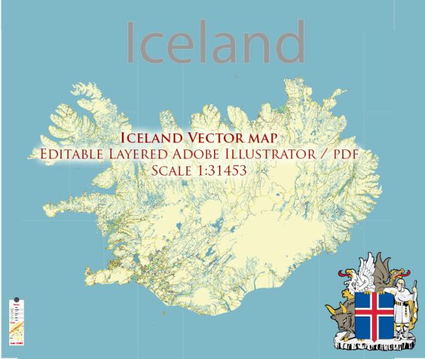
Iceland, located in the North Atlantic Ocean, is known for its stunning landscapes, including glaciers, volcanoes, hot springs, and waterfalls. The country’s principal waterways and main roads play a crucial role in connecting its various regions. Here’s a brief description:
Principal Waterways:
- Rivers:
- Iceland has numerous rivers, but some of the major ones include the Þjórsá, Jökulsá á Dal, and Skjálfandafljót.
- Þjórsá is the longest river in Iceland, flowing for about 230 miles (370 km) through the southern part of the country.
- Lakes:
- Þingvallavatn (Thingvallavatn) is the largest natural lake in Iceland, situated in the Thingvellir National Park.
- Other notable lakes include Myvatn, Lagarfljót, and Jökulsárlón, which is a glacial lagoon.
- Fjords:
- Iceland’s coastline is characterized by numerous fjords, with the Westfjords region having some of the most impressive examples.
Main Roads:
- Ring Road (Route 1):
- The Ring Road is Iceland’s main highway, encircling the entire island and connecting most major towns and cities.
- It offers breathtaking views of diverse landscapes, including glaciers, volcanoes, and coastal areas.
- Golden Circle:
- The Golden Circle is a popular tourist route that includes Þingvellir National Park, Geysir Geothermal Area, and Gullfoss waterfall.
- Highland Roads:
- Iceland’s interior, known as the Highlands, is mostly uninhabited and can only be accessed by highland roads.
- These roads are often gravel and require special vehicles, as they can be challenging and are typically only open during the summer months.
- South Coast Road (Route 1):
- Connecting Reykjavik to the southeastern part of Iceland, this portion of the Ring Road offers access to waterfalls like Seljalandsfoss and Skogafoss, as well as the Vatnajokull National Park.
- Westfjords Roads:
- The Westfjords, a remote and picturesque region, is accessible through a network of roads offering stunning views of fjords and cliffs.
- Hringvegur (Hringvegurinn):
- This is another name for the Ring Road in Icelandic, emphasizing its circular route around the island.
While these are some of the key waterways and roads, Iceland’s dynamic geography provides numerous other smaller rivers, lakes, and roads that contribute to its unique and ever-changing scenery. Travelers are advised to check road conditions, especially in the winter, due to challenging weather and road closures.


 Author: Kirill Shrayber, Ph.D.