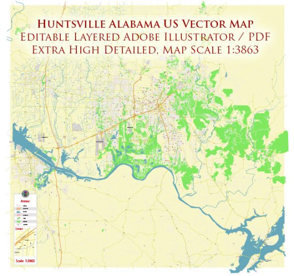
Huntsville, Alabama, is a city with a well-planned road network. An overview of some of the principal streets and roads in Huntsville, keep in mind that road names and developments may have changed. Here are some significant streets and roads in Huntsville:
- University Drive (U.S. Highway 72): This major east-west artery runs through the heart of Huntsville and is home to numerous businesses, restaurants, and shopping centers.
- Memorial Parkway (U.S. Highway 231/431): Also known as “Memorial Parkway” or simply “The Parkway,” this road is a crucial north-south route in Huntsville. It intersects with many other major roads and provides access to various neighborhoods and commercial areas.
- I-565 (John T. Reid Parkway): This interstate connects Huntsville with Interstate 65 and facilitates east-west travel through the city. It also provides access to the Huntsville International Airport.
- South Memorial Parkway: The southern portion of Memorial Parkway, this road serves the southern part of the city and connects to Redstone Arsenal.
- Airport Road: Running east-west, Airport Road connects the downtown area with the Huntsville International Airport, providing access to various neighborhoods and businesses.
- Governors Drive: This road runs east-west and is a major route connecting downtown Huntsville with the eastern part of the city. It passes through the medical district and provides access to Monte Sano State Park.
- Cecil Ashburn Drive: Connecting Hampton Cove to the southeast with Jones Valley to the southwest, Cecil Ashburn Drive is an important route for commuters in the city.
- Jordan Lane: Running north-south, Jordan Lane is a significant road that intersects with University Drive and provides access to various neighborhoods, schools, and shopping centers.
- Oakwood Avenue: This east-west road serves the northern part of Huntsville and connects several neighborhoods, schools, and parks.
- Old Madison Pike: Located in the western part of the city, Old Madison Pike is an important road providing access to Research Park and the Cummings Research Park area.
Keep in mind that Huntsville’s road network is continually evolving, and new developments may have occurred since my last update. We provide you with the most accurate and up-to-date vector maps in Adobe Illustrator, PDF and other formats, designed for editing and printing. Please read the vector map descriptions carefully.


 Author: Kirill Shrayber, Ph.D. FRGS