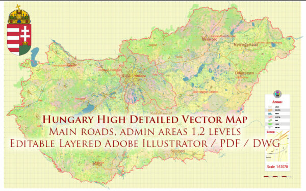
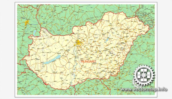
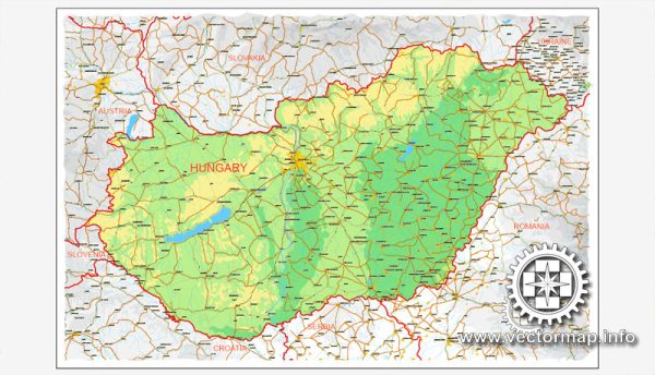
Hungary, located in Central Europe, has a network of waterways and roads that play a crucial role in the country’s transportation and trade. Here’s an overview of Hungary’s principal waterways and main roads:
Waterways:
- Danube River: The Danube is the longest river in Hungary and one of the most important waterways in Europe. It flows through the capital city, Budapest, dividing the city into Buda and Pest. The Danube is navigable, and its Hungarian stretch is a key transportation route for both goods and passengers.
- Tisza River: The Tisza is the second-longest river in Hungary and is also navigable. It flows through the eastern part of the country, playing a significant role in regional transportation and irrigation.
- Dráva River: The Dráva is another important river in Hungary, forming part of the country’s southern border with Croatia. It is used for navigation and is also known for its scenic beauty.
Main Roads:
- M0 Motorway Ring: The M0 is a ring road that encircles Budapest, providing a vital connection between different highways and facilitating the flow of traffic around the capital.
- M1 Motorway: Connecting Budapest to the Austrian border, the M1 is a major highway that serves as a key route for international traffic.
- M3 Motorway: Running from Budapest to the northeast, the M3 is a major corridor connecting the capital to cities like Debrecen and Nyíregyháza.
- M5 Motorway: Extending southward from Budapest, the M5 provides a direct route to cities like Kecskemét and Szeged, eventually leading to the Serbian border.
- M7 Motorway: Heading southwest from Budapest, the M7 is an important highway connecting the capital to Lake Balaton and the cities of Székesfehérvár and Pécs.
- E60 European Route: The E60 is a significant European route passing through Hungary, connecting it to countries like Austria, Slovakia, and Romania.
These waterways and roads are integral to Hungary’s transportation infrastructure, supporting domestic and international trade, tourism, and overall economic development. The country’s strategic location in Central Europe makes these transportation routes crucial for both regional and continental connectivity.


 Author: Kirill Shrayber, Ph.D. FRGS