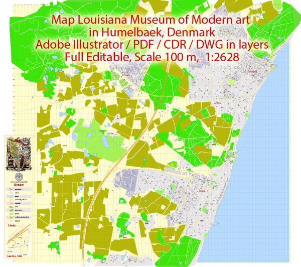
Humlebæk is a town in Denmark, located in the Rudersdal Municipality in the Capital Region of Denmark. Some of the principal streets and roads. We provide you with the most accurate and up-to-date vector maps in Adobe Illustrator, PDF and other formats, designed for editing and printing. Please read the vector map descriptions carefully.
- Strandvejen: This is a major road that runs along the coast, and it is a significant route connecting various towns and cities along the coast, including Humlebæk. It provides access to the waterfront areas and offers scenic views of the Øresund Strait.
- Humlebæk Strandvej: This road is likely to be a local road within Humlebæk, running parallel or connecting to the main Strandvejen. It may provide access to residential areas and local amenities.
- Esrumvej: Esrumvej is another road in the vicinity, and it might connect different parts of Humlebæk or lead to neighboring areas.
- Nordre Strandvej: This road may also be a local road in Humlebæk, serving residential areas or connecting to other important points in the town.
To get the most accurate and up-to-date information about the streets and roads in Humlebæk, I recommend checking with the local municipality, using online mapping services, or referring to local sources. Additionally, the municipality’s official website or local maps can provide detailed information on the town’s infrastructure and road network.


 Author: Kirill Shrayber, Ph.D. FRGS