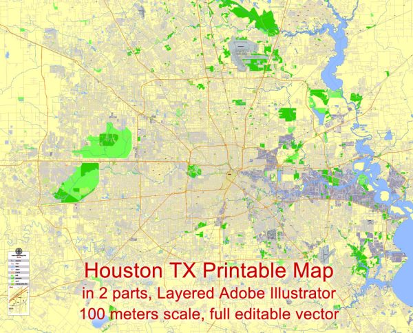
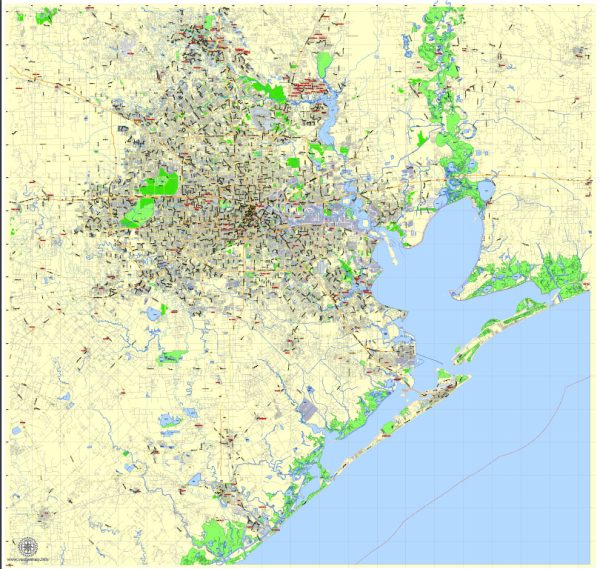
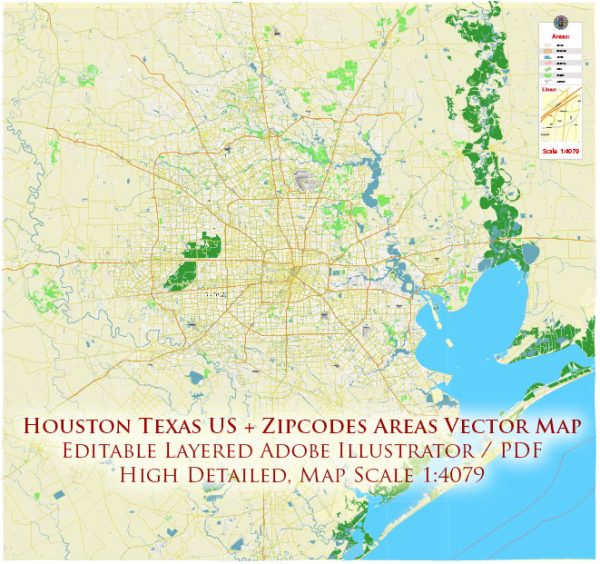
Houston, Texas, is a large and sprawling city with an extensive network of streets and roads. While it’s not possible to provide an exhaustive list of all the streets, I can give you an overview of some of the principal streets and roads that are significant in the city.
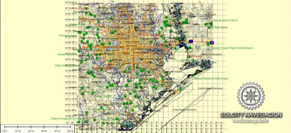
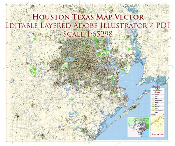
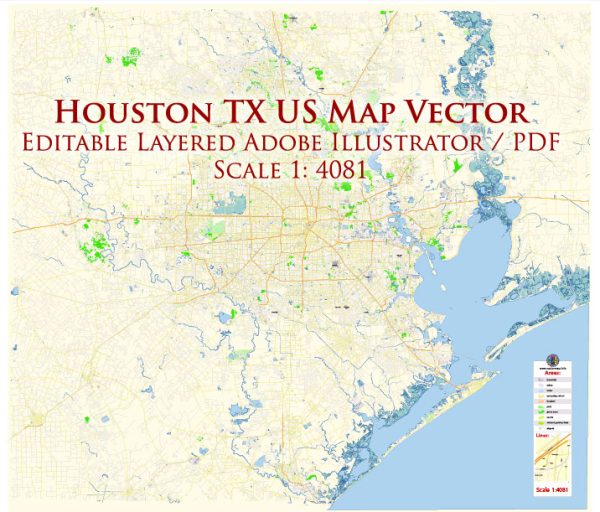
We provide you with the most accurate and up-to-date vector maps in Adobe Illustrator, PDF and other formats, designed for editing and printing. Please read the vector map descriptions carefully.
- Interstate Highways:
- I-10 (Katy Freeway): Runs west to east, connecting Houston to cities like San Antonio and New Orleans.
- I-45 (Gulf Freeway): Runs north to south, connecting Houston to Dallas and Galveston.
- I-610 (Loop 610): Forms a loop around the city, connecting various neighborhoods and suburbs.
- U.S. Highways:
- US-59 (Southwest Freeway): Connects Houston to cities like Victoria and Laredo.
- US-290 (Northwest Freeway): Heads northwest towards Austin.
- US-288 (South Freeway): Connects Houston to Freeport and Lake Jackson.
- State Highways:
- SH-6: Runs northwest to southeast, connecting Sugar Land and Alvin.
- SH-288: Connects Houston to Freeport on the Gulf Coast.
- Major Streets and Boulevards:
- Westheimer Road: A major east-west street running through the heart of the city.
- Richmond Avenue: Another important east-west thoroughfare, particularly in the western part of the city.
- Bellaire Boulevard: Passes through the Bellaire area, connecting southwest Houston.
- Washington Avenue: Known for its nightlife and dining options.
- Memorial Drive: Runs along Buffalo Bayou, offering scenic views and connecting to Memorial Park.
- Downtown Streets:
- Main Street: Features the METRORail and is a central street in downtown Houston.
- Texas Avenue: Runs east-west through downtown, hosting various businesses and landmarks.
- Smith Street: Parallel to Main Street, known for dining and entertainment options.
- Beltway:
- Beltway 8 (Sam Houston Tollway): An outer loop circling the city, providing access to various suburbs and connecting to major highways.
- Neighborhood-Specific Roads:
- Each neighborhood in Houston has its own network of streets, with some of the major ones including Westheimer Road in the Galleria area, Navigation Boulevard in the East End, and Heights Boulevard in the Heights.
Keep in mind that Houston is a dynamic and growing city, so road networks may evolve over time. It’s advisable to use a current map or GPS navigation for real-time information on streets and roads in Houston.

 Author: Kirill Shrayber, Ph.D. FRGS