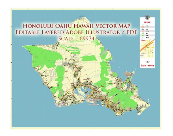
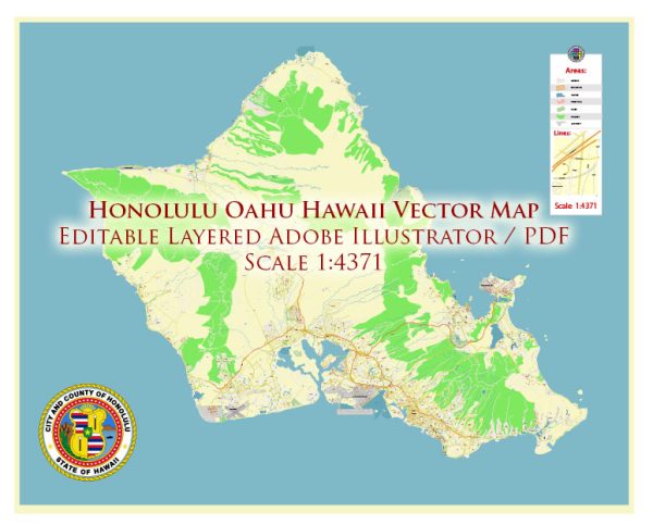
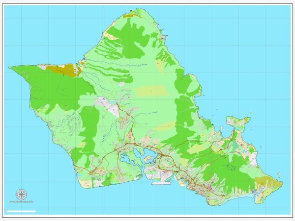
Honolulu, located on the island of Oahu in Hawaii, is the state capital and the largest city in the state. The city is known for its beautiful beaches, vibrant culture, and diverse population. Keep in mind that urban landscapes may change, and it’s a good idea to check for the latest information.
- King Street: One of the main streets in downtown Honolulu, King Street is known for its historic buildings, shops, and restaurants. It runs east-west and intersects with various other streets.
- Kapiolani Boulevard: This major thoroughfare runs through downtown Honolulu and is known for its commercial and business districts. It is also a gateway to Waikiki.
- Ala Moana Boulevard: Connecting downtown Honolulu with the Ala Moana area, this street is home to the Ala Moana Center, one of the largest shopping malls in the United States.
- Nimitz Highway: Running along the waterfront, Nimitz Highway is a principal route to and from Honolulu International Airport. It provides access to the Pearl Harbor area and other parts of the island.
- H-1 Freeway: This interstate highway runs through Honolulu and connects the western and eastern parts of the island. It’s a crucial transportation artery for both local commuters and tourists.
- Lunalilo Freeway (H-201): Also known as the Moanalua Freeway, it connects the H-1 Freeway with the H-3 Freeway, providing another route for east-west travel.
- Pali Highway (Highway 61): Heading north from downtown Honolulu, the Pali Highway takes you through the scenic Pali Pass and connects to the windward side of the island.
- Kalakaua Avenue: This iconic avenue runs through the heart of Waikiki and is known for its luxury shopping, hotels, and vibrant nightlife. It’s a popular destination for both locals and tourists.
- Likelike Highway (Highway 63): Connecting Honolulu with the windward side of Oahu, Likelike Highway passes through the Koolau Mountains.
- Fort Street Mall: Located in downtown Honolulu, Fort Street Mall is a pedestrian-friendly area with shops, restaurants, and offices.
Please note that road names, routes, and traffic conditions may change, so it’s advisable to check with local sources or navigation apps for the most up-to-date information.


 Author: Kirill Shrayber, Ph.D.