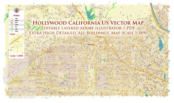
Hollywood is a neighborhood located in the city of Los Angeles, California. It is known as the entertainment capital of the world, with its iconic Hollywood Sign and the Walk of Fame. Here are some principal streets and roads in Hollywood:
- Hollywood Boulevard: This is perhaps the most famous street in Hollywood, known for the Hollywood Walk of Fame. The sidewalk along this street is embedded with stars honoring the achievements of famous actors, musicians, directors, and other entertainment industry personalities.
- Sunset Boulevard: While not entirely located within Hollywood, Sunset Boulevard is a major thoroughfare that runs through the area. It’s known for its vibrant nightlife, historic music venues, and trendy restaurants.
- Vine Street: Another important street intersecting with Hollywood Boulevard, Vine Street is home to the iconic Capitol Records Building and the Pantages Theatre, a historic venue for Broadway shows.
- Highland Avenue: This street is significant for its connection to the Hollywood and Highland Center, a major entertainment complex that includes the Dolby Theatre, where the Academy Awards (Oscars) ceremony is held.
- Cahuenga Boulevard: This street is known for its nightlife, including bars, clubs, and theaters. The historic Cahuenga Pass connects Hollywood to the San Fernando Valley.
- Franklin Avenue: Running parallel to Hollywood Boulevard, Franklin Avenue is lined with shops, restaurants, and residential buildings. The area around Franklin Village is particularly popular.
- Melrose Avenue: While not in the heart of Hollywood, Melrose Avenue is nearby and famous for its trendy shopping, dining, and street art. It runs through West Hollywood, connecting to Hollywood at its eastern end.
- Santa Monica Boulevard: This major thoroughfare passes through West Hollywood, just south of Hollywood, and is known for its LGBTQ+ friendly atmosphere, with numerous bars, clubs, and businesses catering to the community.
These streets collectively form the network of roads that define Hollywood, contributing to its unique character as a hub of the entertainment industry.


 Author: Kirill Shrayber, Ph.D. FRGS