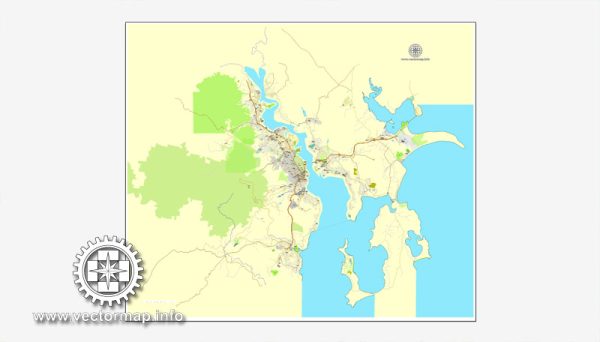
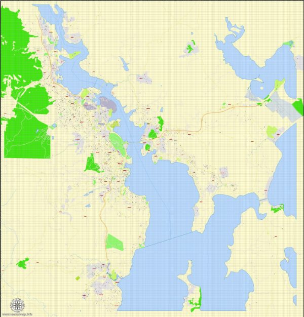
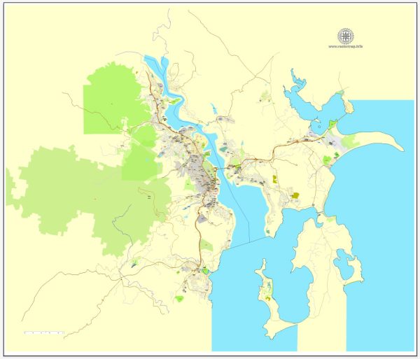
Hobart, the capital city of Tasmania, Australia, is known for its charming streets and roads that wind through historical neighborhoods, waterfront areas, and scenic landscapes. A general overview of some principal streets and roads in Hobart.
- Elizabeth Street:
- One of the main streets in Hobart, running through the central business district.
- Lined with shops, cafes, and historic buildings.
- Macquarie Street:
- Another important street in the CBD, featuring government buildings and offices.
- St. David’s Park is located near Macquarie Street.
- Salamanca Place:
- A historic and iconic area known for its Georgian warehouses converted into shops, galleries, and restaurants.
- Hosts the famous Salamanca Market on Saturdays.
- Davey Street:
- Runs along the waterfront and is known for its scenic views of the Derwent River.
- Features historic buildings and offers access to the Salamanca area.
- Battery Point:
- An enchanting suburb with narrow, winding streets lined with charming cottages and historic homes.
- Hampden Road is a notable street in Battery Point.
- Sandy Bay Road:
- Extends from the city to the suburb of Sandy Bay.
- Features the University of Tasmania’s Sandy Bay campus and waterfront residences.
- Liverpool Street:
- Connects the city center with the North Hobart area.
- Known for its dining options, shops, and cultural venues.
- Brooker Avenue (Brooker Highway):
- A major road connecting the northern and southern suburbs, passing through the city.
- Provides access to the Tasman Bridge.
- Tasman Highway:
- Connects Hobart to the east coast of Tasmania, passing through suburbs like Rosny and Bellerive.
- Argyle Street:
- Located in the North Hobart area, known for its vibrant atmosphere and diverse dining options.
These streets and roads offer a glimpse into Hobart’s diverse character, combining historical charm with modern amenities and picturesque surroundings. Keep in mind that Hobart is a relatively compact city, making it easy to explore on foot or by car.


 Author: Kirill Shrayber, Ph.D. FRGS