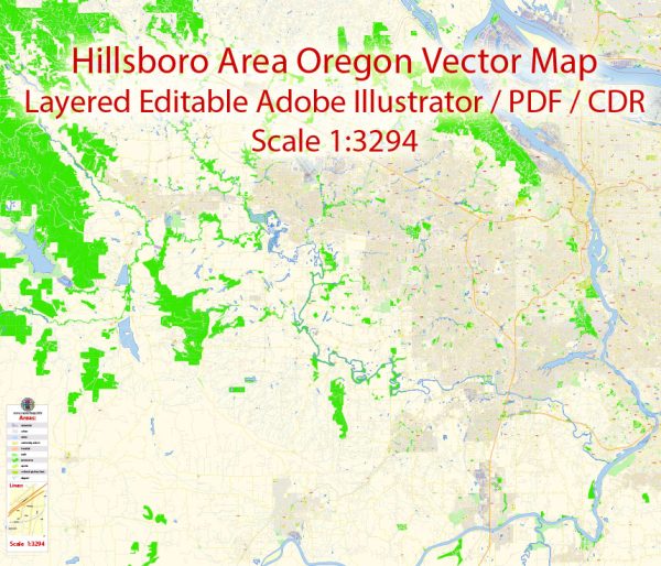
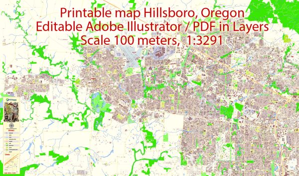
Hillsboro, Oregon, is a city located in Washington County in the Portland metropolitan area. A general overview of some principal streets and roads in Hillsboro.
- TV Highway (Tualatin Valley Highway):
- This is a major east-west route passing through Hillsboro.
- It connects Hillsboro to Beaverton and other western suburbs, providing access to shopping centers, businesses, and residential areas.
- Cornelius Pass Road:
- Running north-south, Cornelius Pass Road is an important route connecting Hillsboro to the northern parts of the city and beyond.
- It intersects with TV Highway and provides access to Intel campuses.
- Baseline Road:
- Baseline Road is another east-west road running through Hillsboro.
- It serves as a major arterial road connecting different neighborhoods and commercial areas.
- Brookwood Parkway:
- This road runs north-south and is a key route in the eastern part of Hillsboro.
- It connects to the Tualatin Valley Highway and provides access to various residential and commercial areas.
- Evergreen Parkway:
- Evergreen Parkway is located in the southern part of Hillsboro.
- It connects to TV Highway and provides access to shopping centers, schools, and residential neighborhoods.
- Main Street:
- Main Street is a central road in downtown Hillsboro.
- It is home to a variety of shops, restaurants, and businesses and contributes to the city’s historic charm.
- 185th Avenue:
- This road runs north-south and serves as a major corridor in the western part of Hillsboro.
- It connects to TV Highway and provides access to residential and commercial areas.
It’s important to note that the road network in Hillsboro may have changed, and new developments may have occurred since my last update. For the most accurate and current information, consider checking with local sources, such as the City of Hillsboro’s official website or a reliable map service.


 Author: Kirill Shrayber, Ph.D. FRGS