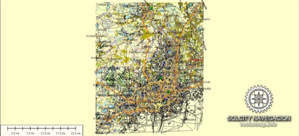
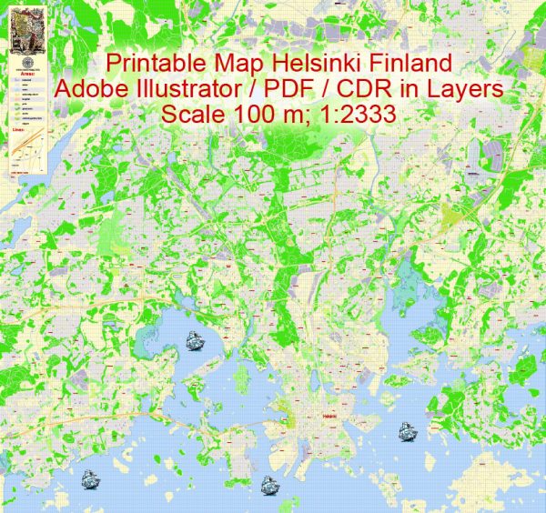
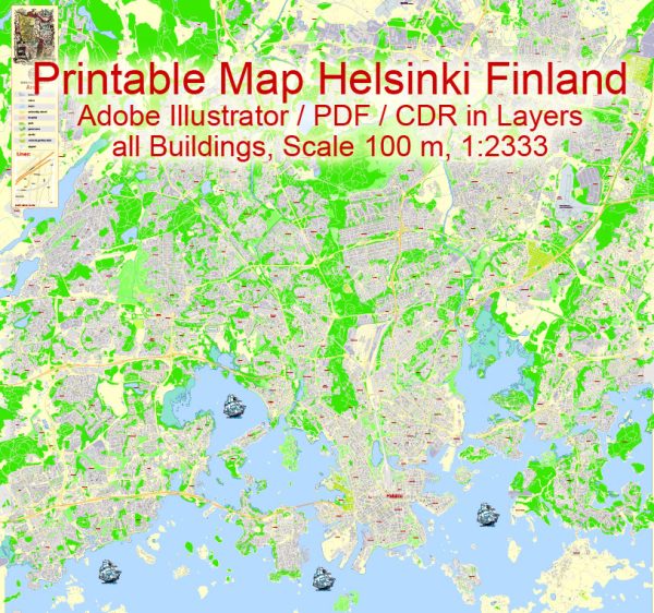
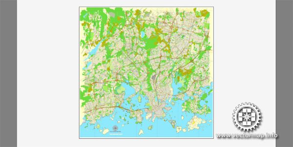
Helsinki, the capital and largest city of Finland, is known for its beautiful waterfront and numerous waterways. The city is located on the southern coast of Finland, along the Gulf of Finland. Here’s a brief description of the waterways and bridges in Helsinki:
- Gulf of Finland: Helsinki is situated on a peninsula surrounded by the Gulf of Finland to the south. The city’s connection to this major body of water has played a significant role in its history and development.
- Helsinki Harbor: The city’s main harbor is a bustling hub for maritime activities. It serves as a gateway for ferry services to nearby islands and other Baltic Sea destinations. The harbor area is dotted with piers, terminals, and waterfront promenades.
- Toolonlahti Bay: This bay is located just north of the city center and is surrounded by parks and recreational areas. It’s a popular spot for walking, jogging, and enjoying the scenic views of the water.
- Hakaniemi Canal: Running through the Kallio district, Hakaniemi Canal is a picturesque waterway surrounded by historic buildings, parks, and bridges. The Hakaniemi Market Square is located along the canal, adding to the lively atmosphere.
- Kulosaari Bridge: Also known as the Kulosaaren silta in Finnish, this bridge connects the district of Kallio to the island of Kulosaari. It’s an important transportation link and offers stunning views of the Gulf of Finland.
- Pohjoisranta Promenade: This is a charming waterfront promenade along the northern shore of the city, offering scenic views of the Gulf of Finland and historical buildings. It’s a great place for a leisurely stroll.
- Kaisaniemi Park and Kaisaniemi Bridge: Kaisaniemi Park is a green oasis in the heart of Helsinki, and the Kaisaniemi Bridge spans the Kaisaniemi Canal, connecting the park to the Kallio district.
- Suomenlinna Sea Fortress: Although not within the immediate city center, Suomenlinna is a UNESCO World Heritage-listed sea fortress located on a group of islands. Accessible by ferry, it boasts a network of bridges, tunnels, and fortifications.
These waterways and bridges contribute to Helsinki’s unique charm, providing both residents and visitors with opportunities to enjoy the city’s maritime beauty and cultural heritage.


 Author: Kirill Shrayber, Ph.D. FRGS