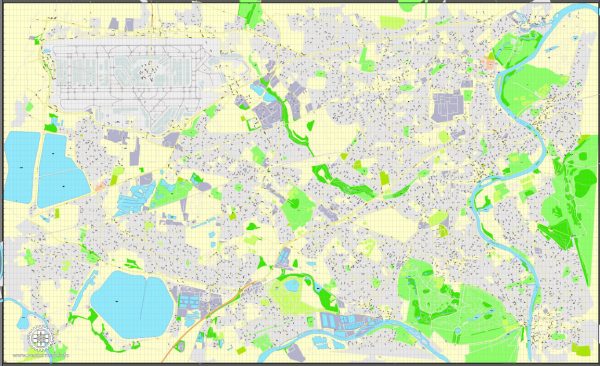
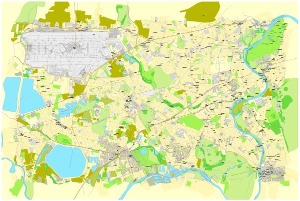
Heathrow, Feltham, and Hounslow are areas located in the western part of London, United Kingdom. Each area has its own principal streets and roads that contribute to the local transportation network. Here is a general description of some principal streets and roads in these areas:
Heathrow:
1. Heathrow Airport:
- The airport has multiple terminals (e.g., Terminal 1, Terminal 2, Terminal 3, Terminal 4, Terminal 5), each with its access roads.
- The M4 motorway provides a major connection to Heathrow from central London.
Feltham:
1. Feltham High Street:
- The main high street in Feltham, featuring shops, businesses, and local services.
2. Bedfont Lane:
- A significant road connecting parts of Feltham, including residential and commercial areas.
3. A30 Great South West Road:
- A major road passing through Feltham, providing connectivity to Heathrow and surrounding areas.
Hounslow:
1. Hounslow High Street:
- The primary high street in Hounslow, offering a variety of shops, restaurants, and services.
2. London Road:
- A major road running through Hounslow, connecting to neighboring areas.
3. A4 Great West Road:
- A significant arterial road that passes through Hounslow, connecting central London with Heathrow and beyond.
4. Bath Road:
- Another important road in the area, providing access to Heathrow Airport.
5. Staines Road:
- Connecting Hounslow with nearby areas, this road is part of the local transportation network.
Please note that these are general descriptions, and there may be additional streets and roads in each area. It’s recommended to refer to local maps or navigation tools for the most accurate and current information on principal streets and roads in Heathrow, Feltham, and Hounslow.


 Author: Kirill Shrayber, Ph.D. FRGS