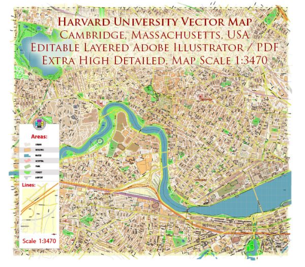
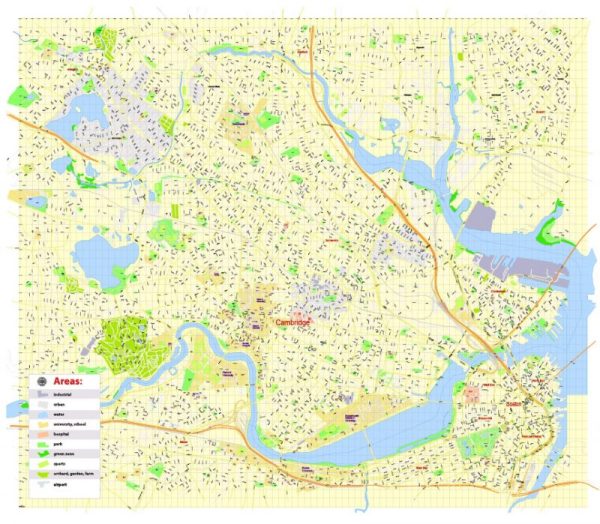
Harvard University is located in Cambridge, Massachusetts, and is easily accessible by various streets and roads. The university campus is situated along the Charles River, and the main entrance is typically considered to be at Harvard Square. Here are some principal streets and roads in and around Harvard University:
- Massachusetts Avenue (Mass Ave): This is a major thoroughfare that runs through Cambridge and passes through Harvard Square. Many shops, restaurants, and businesses line this street.
- Harvard Square: This is a historic and vibrant commercial center at the heart of Cambridge. It is a focal point for students, residents, and visitors, with various shops, cafes, and cultural institutions.
- John F. Kennedy Street: This street runs through Harvard Square and is named after the former U.S. President, who attended Harvard University. It is a central street with a mix of businesses and institutions.
- Memorial Drive: Running along the Charles River, Memorial Drive offers scenic views of the river and connects various parts of Cambridge. The drive is often used for jogging, walking, and recreational activities.
- Brattle Street: Located near Harvard Square, Brattle Street is known for its historic architecture, including colonial-era houses. It adds to the charm of the area and is often used for strolling.
- Quincy Street: This street runs through the Harvard Yard, the historic center of Harvard University’s campus. Many academic buildings and the Widener Library are located along Quincy Street.
- Cambridge Street: Another major road in Cambridge that connects various neighborhoods, including the area around Harvard University.
- Mount Auburn Street: This street intersects with Massachusetts Avenue and leads to the western part of Harvard’s campus. It is lined with shops, restaurants, and residential buildings.
- Garden Street: Running parallel to Massachusetts Avenue, Garden Street is located to the west of Harvard Yard. It provides access to parts of the university campus.
These streets and roads form a network that makes Harvard University easily accessible by foot, bike, or public transportation. It’s important to note that Cambridge is a pedestrian-friendly city, and many people prefer to explore the area on foot. Additionally, the Massachusetts Bay Transportation Authority (MBTA) provides public transportation options, including buses and the Red Line subway, making it convenient to reach Harvard University from various parts of the Greater Boston area.


 Author: Kirill Shrayber, Ph.D. FRGS