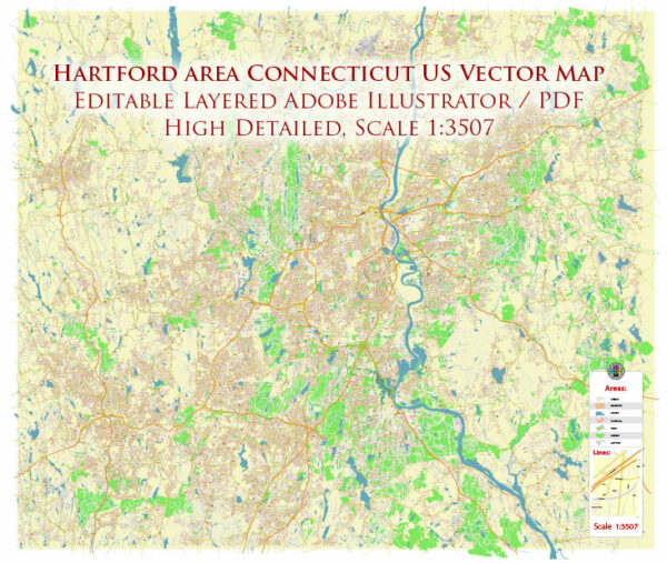
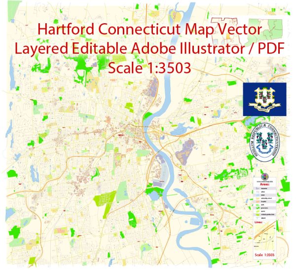
Hartford, Connecticut, is the capital city and one of the oldest cities in the United States. It is known for its historical significance, cultural attractions, and diverse neighborhoods. Here are some principal streets and roads in Hartford:
- Main Street: As the name suggests, Main Street is a central thoroughfare in downtown Hartford, hosting a mix of businesses, shops, and restaurants. It’s a key part of the city’s historic district.
- Asylum Street: Another important downtown street, Asylum Street runs parallel to Main Street and is known for its commercial and office buildings.
- Bushnell Park: This is not a street but a significant landmark. Bushnell Park is a large public park located in the heart of Hartford, and various roads surround it.
- Capitol Avenue: This avenue leads to the Connecticut State Capitol building and Legislative Office Building. It’s a key route in the Capitol area.
- Interstate 84 (I-84): This major highway runs through Hartford, connecting it with other cities in the region. It’s a crucial transportation route.
- Interstate 91 (I-91): Another important interstate highway that passes through Hartford, providing north-south connectivity.
- Founders Bridge: This is a bridge that spans the Connecticut River, connecting Hartford to East Hartford. It’s an iconic structure in the city.
- Park Street: Running through various neighborhoods, Park Street is known for its cultural diversity, with many shops and restaurants reflecting the city’s multicultural population.
- Albany Avenue: This avenue runs through the northern part of Hartford and is a significant thoroughfare with various businesses and neighborhoods.
- Wethersfield Avenue: Located in the southern part of the city, Wethersfield Avenue is a diverse and vibrant corridor with commercial and residential areas.
These are just a few examples, and there are many more streets and roads that make up the urban fabric of Hartford. As the city continues to evolve, new developments and changes to infrastructure may occur. For the most accurate and up-to-date information, consider consulting local maps, navigation apps, or official city resources.


 Author: Kirill Shrayber, Ph.D. FRGS