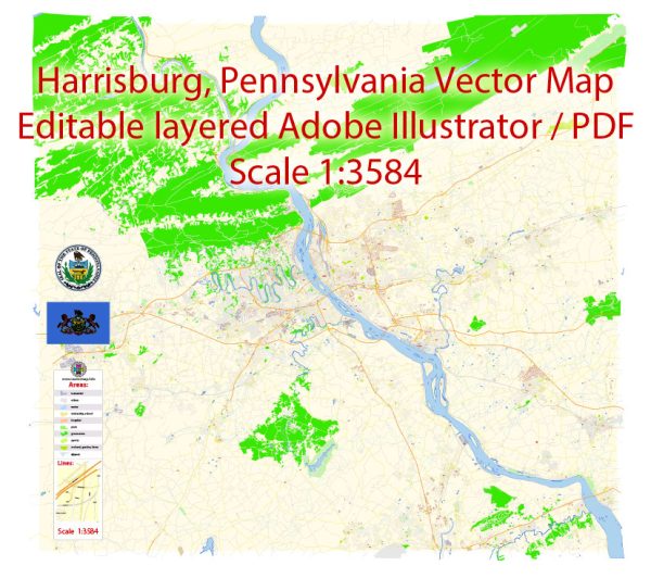
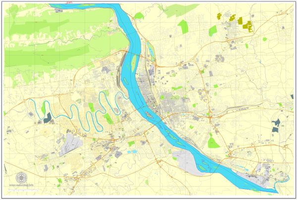
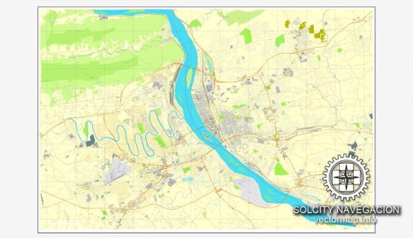
Harrisburg, the capital city of Pennsylvania, has a network of principal streets and roads that facilitate transportation throughout the area. Here are some of the principal streets and roads in Harrisburg:
- Front Street: Front Street runs along the eastern bank of the Susquehanna River and is a major north-south thoroughfare. It provides access to the city’s riverfront and offers scenic views of the river.
- Second Street: Parallel to Front Street, Second Street is another important north-south route. It passes through the downtown area and is lined with businesses, shops, and restaurants.
- Market Street: Market Street is a key east-west thoroughfare that intersects with Front and Second Streets. It runs through the heart of downtown Harrisburg and is home to various businesses, government buildings, and cultural institutions.
- State Street: As the name suggests, State Street is significant as it connects the Pennsylvania State Capitol building with the Susquehanna River. It’s a central street in the downtown area.
- Cameron Street: Running parallel to Front Street on the eastern side of the city, Cameron Street is a major north-south route that provides access to various neighborhoods and commercial areas.
- Forster Street: Forster Street intersects with Front Street and runs westward, connecting the downtown area with residential neighborhoods.
- Interstate 83 (I-83): This interstate highway runs north-south and passes through the eastern part of Harrisburg. It provides a crucial connection to other cities in Pennsylvania, including York and Baltimore, Maryland.
- Interstate 81 (I-81): Running northeast to southwest, I-81 passes just west of Harrisburg and is a major interstate route connecting cities such as Scranton, Wilkes-Barre, and Roanoke, Virginia.
- Interstate 76 (Pennsylvania Turnpike): The Pennsylvania Turnpike, part of Interstate 76, is a toll highway that provides a major east-west connection across the state. It passes just south of Harrisburg.
- US Route 22/322: This route runs east-west, connecting Harrisburg with other cities in Pennsylvania, including Hershey and State College.
- Derry Street: Derry Street is another east-west route that passes through different neighborhoods in Harrisburg.
It’s important to note that Harrisburg has a grid-like street pattern in its downtown area, which makes navigation relatively straightforward. Additionally, various bridges connect the east and west shores of the Susquehanna River, providing essential links for commuters and travelers.


 Author: Kirill Shrayber, Ph.D. FRGS