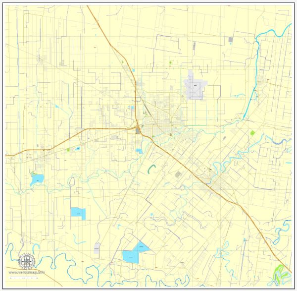
Principal streets and roads in Harlingen, Texas, a general overview of the city’s road infrastructure based on historical information.
Harlingen is a city in the Rio Grande Valley of Texas and is served by a network of roads and highways that facilitate transportation within the city and connect it to other parts of the region. Some of the major roads and highways in and around Harlingen include:
- Interstate 2 (I-2): This is a major east-west interstate that runs through Harlingen, connecting it to cities like McAllen and Brownsville to the west and other parts of the state to the east.
- U.S. Route 77 (US 77): US 77 is a north-south highway that passes through Harlingen, providing access to cities like Corpus Christi to the north and Brownsville to the south.
- U.S. Route 83 (US 83): US 83 is another east-west highway that runs through Harlingen, connecting it to cities such as Weslaco and McAllen to the west and Brownsville to the east.
- Loop 499: This is a loop road that encircles the central part of Harlingen, providing access to various neighborhoods and commercial areas.
- Tyler Avenue: Tyler Avenue is one of the main north-south streets in Harlingen, running through the city and providing access to different parts of the community.
- Ed Carey Drive: Ed Carey Drive is an important east-west road in Harlingen, connecting the eastern and western parts of the city.
- Harrison Avenue: Harrison Avenue is another significant north-south street in Harlingen.
It’s important to note that the road network and infrastructure may have changed since my last update, so I recommend checking with local sources or using online maps for the most current information on principal streets and roads in Harlingen, Texas.


 Author: Kirill Shrayber, Ph.D. FRGS