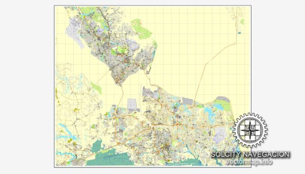
Hampton Roads, located in southeastern Virginia, is a region known for its significant waterways and strategic location, which has greatly influenced its air and water transportation systems. The area encompasses several cities, including Norfolk, Virginia Beach, Hampton, Newport News, and Chesapeake. Here’s a brief description of air and water transportation in Hampton Roads:
Air Transportation:
- Norfolk International Airport (ORF): Norfolk International Airport is the major airport serving the Hampton Roads region. It is located in Norfolk and provides domestic and limited international flights. The airport plays a crucial role in connecting the region to various destinations.
- Military Presence: Hampton Roads is home to several military installations, including Naval Station Norfolk, the largest naval base in the world. These military facilities have their own airfields and contribute significantly to the region’s air traffic.
- General Aviation: In addition to the major airport, there are several general aviation airports and airstrips in the area, catering to private and small aircraft.
Water Transportation:
- Port of Virginia: The Port of Virginia is a major deep-water port located in Hampton Roads, serving as a key gateway for international trade. It has terminals in Norfolk, Portsmouth, and Newport News. The port handles containerized cargo, bulk cargo, and roll-on/roll-off (Ro/Ro) cargo.
- Naval Operations: Norfolk Naval Shipyard and Newport News Shipbuilding are two of the largest shipyards in the United States, playing a vital role in naval operations and shipbuilding. They are crucial for the maintenance and construction of naval vessels.
- Ferries and Water Taxis: Hampton Roads is intersected by several rivers and water bodies, leading to the operation of various ferries and water taxis. These provide transportation across waterways, connecting different parts of the region.
- Bridge-Tunnel Complex: The Hampton Roads Bridge-Tunnel complex is an engineering marvel that connects the cities of Hampton and Norfolk. It includes bridges, tunnels, and causeways, providing a vital transportation link across the Hampton Roads harbor.
- Coast Guard Operations: The U.S. Coast Guard has a significant presence in the region, conducting operations to ensure maritime safety and security.
Overall, the air and water transportation systems in Hampton Roads are integral to its economic activities, military operations, and connectivity with the rest of the world. The region’s geographical location, with its extensive waterfront and military installations, makes it a hub for diverse transportation activities.


 Author: Kirill Shrayber, Ph.D. FRGS