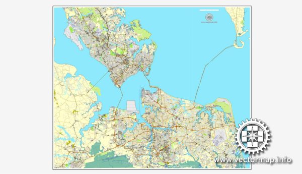
Hampton Roads is a metropolitan area located in the southeastern part of Virginia, encompassing several cities and towns, with Norfolk and Newport News being two of the major cities in the region. The area is known for its large natural harbor, military presence, and diverse communities. Here’s an overview of some principal streets and roads in Norfolk and Newport News:
Norfolk:
- Waterside Drive: Located along the waterfront, Waterside Drive is known for its entertainment and dining options. The Waterside District is a popular destination for locals and tourists alike.
- Granby Street: Running through the downtown area, Granby Street is a major commercial and entertainment thoroughfare. It features shops, restaurants, and nightlife.
- Monticello Avenue: This street connects downtown Norfolk with the Ghent neighborhood and is lined with shops, offices, and residential buildings.
- Hampton Boulevard: Running through the Ghent neighborhood, Hampton Boulevard is a major north-south route, providing access to Old Dominion University and Naval Station Norfolk.
- Military Highway: As the name suggests, Military Highway is a significant road that intersects with Interstate 264 and serves as a commercial corridor with shopping centers and businesses.
Newport News:
- Jefferson Avenue: A major north-south artery, Jefferson Avenue runs through Newport News and is lined with a mix of commercial and residential developments.
- Warwick Boulevard: Parallel to Jefferson Avenue, Warwick Boulevard is another important road in Newport News. It runs along the James River and provides access to various neighborhoods and shopping areas.
- Oyster Point Road: This road is situated in the Oyster Point business district and is home to numerous offices, shopping centers, and corporate facilities.
- J. Clyde Morris Boulevard: Running from Newport News to York County, J. Clyde Morris Boulevard is a key thoroughfare with access to medical facilities, shopping centers, and residential neighborhoods.
- Denbigh Boulevard: Serving the Denbigh area, this road connects to Interstate 64 and features residential, commercial, and industrial areas.
These are just a few examples, and there are many more streets and roads that make up the transportation network in the Hampton Roads area. Keep in mind that the landscape and infrastructure may evolve over time, so it’s a good idea to consult local maps or navigation tools for the most up-to-date information.


 Author: Kirill Shrayber, Ph.D. FRGS