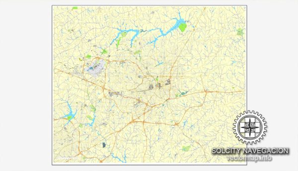
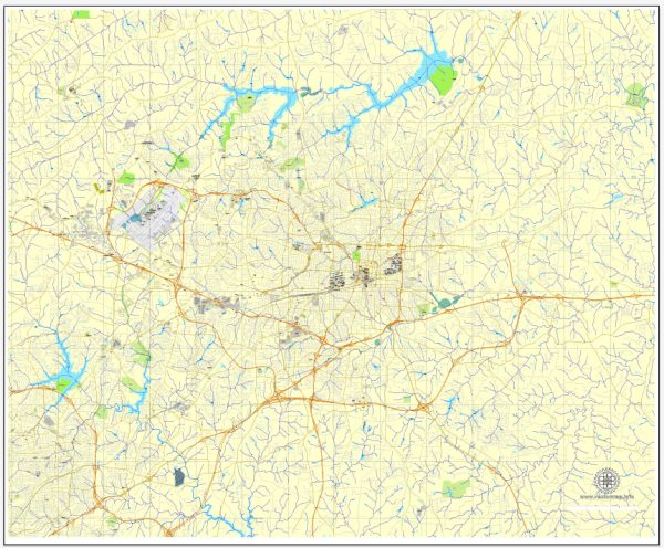
Greensboro, North Carolina, is a city with a well-developed road network. An overview of some principal streets and roads in Greensboro.
- Interstate 40 (I-40): This major east-west interstate runs through Greensboro, connecting the city to other major cities like Raleigh and Winston-Salem.
- Interstate 85 (I-85): Another important interstate, I-85, passes through Greensboro, providing a north-south route and connecting the city to Charlotte and Durham.
- US Highway 29 (US 29): Running north-south, US 29 is a significant highway passing through Greensboro. It intersects with I-85 and I-40.
- US Highway 220 (US 220): This highway runs northwest-southeast, connecting Greensboro to Roanoke, Virginia, in the northwest and Rockingham, North Carolina, in the southeast.
- Battleground Avenue: One of the main north-south roads in Greensboro, Battleground Avenue, is known for its commercial areas, shops, and restaurants.
- Wendover Avenue: Running east-west, Wendover Avenue is a major thoroughfare with commercial developments, including shopping centers and businesses.
- Gate City Boulevard: Formerly Lee Street, Gate City Boulevard is a key east-west route in Greensboro, passing through the downtown area.
- Market Street: Market Street is a major road that runs east-west and passes through the downtown area, providing access to various businesses and amenities.
- Friendly Avenue: This east-west road is known for its residential and commercial areas, including shopping centers and restaurants.
- High Point Road: Running southwest-northeast, High Point Road is a significant route connecting Greensboro to the nearby city of High Point.
Remember that this is just a snapshot, and the road network in Greensboro is more extensive. Always check for the latest maps and navigation tools for real-time information on streets, roads, and any changes to the city’s infrastructure.


 Author: Kirill Shrayber, Ph.D. FRGS