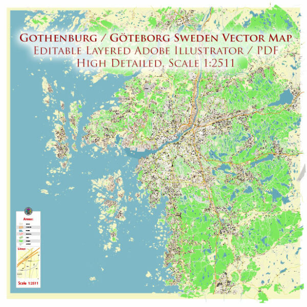
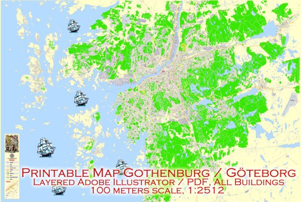
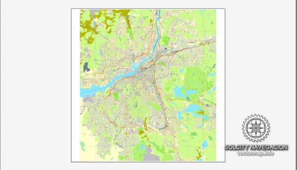
Gothenburg, Sweden, is a city known for its well-planned urban layout and efficient transportation system. Here are some principal streets and roads in Gothenburg:
- Avenyn (Kungsportsavenyen): Avenyn is Gothenburg’s main boulevard and one of the most famous streets in the city. Lined with shops, restaurants, and cafes, it is a popular destination for shopping and entertainment.
- Västra Hamngatan: This is another central street in Gothenburg, known for its vibrant atmosphere and various shops. Västra Hamngatan runs parallel to Avenyn and is often bustling with locals and tourists.
- Östra Hamngatan: Located on the eastern side of the city, Östra Hamngatan is a street with a mix of commercial and residential buildings. It’s close to the harbor and offers a picturesque view.
- Korsvägen: This is a major intersection in Gothenburg and is known for its proximity to important landmarks such as the Universeum (science center) and the Liseberg amusement park.
- Nils Ericsonsgatan: Running along the central train station (Nils Ericson Terminal), this street is a hub for transportation and connects the city center to other parts of Gothenburg.
- Hisingen: Hisingen is the fourth-largest island in Sweden and is connected to the mainland by several bridges. It has important roads such as E45, which is a major north-south highway passing through the city.
- E6 and E20 Highways: These are major European highways passing through Gothenburg. E6 runs along the western coast of Sweden, while E20 connects the city to Stockholm in the east.
- Ringvägen: This is a circular road system around the central parts of Gothenburg, facilitating traffic flow around the city.
- Södra Hamngatan: Located in the city center, Södra Hamngatan is a historic street with a mix of shops, restaurants, and cultural venues.
- Västlänken: This is an underground railway project that aims to improve transportation within Gothenburg. It includes new tunnels and stations to enhance the city’s public transport system.
These are just a few examples, and there are many more streets and roads in Gothenburg, each contributing to the city’s overall accessibility and charm. The city’s layout is designed to accommodate pedestrians, cyclists, and motorists, making it a well-connected and easy-to-navigate urban environment.


 Author: Kirill Shrayber, Ph.D.