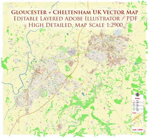
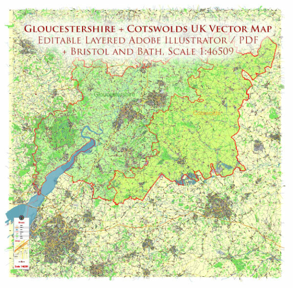
A general overview of principal streets and roads in Gloucester and Cheltenham, UK. Here’s a brief description:
Gloucester:
- Eastgate Street: A prominent street in the city center with various shops and businesses.
- Northgate Street: Another key street in the city center, known for its shops and historic architecture.
- Southgate Street: Runs south from the city center and is home to shops and amenities.
- Westgate Street: Located on the west side of the city center, featuring shops and landmarks.
- London Road: Connects the city center to the eastern suburbs and areas like Longlevens.
- Bristol Road: Runs southwest out of the city towards the A38 and Bristol.
- Stroud Road: Heads westward, connecting Gloucester to Stroud.
- Trier Way: A major road passing through Gloucester, connecting various neighborhoods.
Cheltenham:
- Promenade: A beautiful, tree-lined street in the heart of Cheltenham, known for its Regency architecture and high-end shops.
- High Street: The main shopping street in Cheltenham with a mix of retail stores, restaurants, and cafes.
- Montpellier Walk: A fashionable area with boutique shops and cafes, just off the Promenade.
- Winchcombe Street: Located in the town center, featuring shops and connecting to the High Street.
- Clarence Street: Runs through the town center, providing access to various amenities.
- London Road: Connects Cheltenham to Gloucester and other surrounding areas.
- Bath Road: Extending from the town center towards the southwest, with shops and residential areas.
- A40 (Golden Valley Bypass): A major road passing to the north of Cheltenham, providing access to the M5 motorway.
Remember, road networks and city planning can change, so for the latest and most accurate information, consider checking online maps or local sources for updates.


 Author: Kirill Shrayber, Ph.D. FRGS