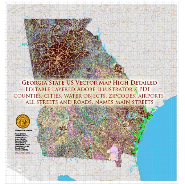
Georgia, located in the southeastern United States, has a diverse and extensive network of waterways and roadways. Here’s an overview of the principal waterways and main roads in Georgia:
Principal Waterways:
- Savannah River: Forms part of the eastern border between Georgia and South Carolina. It is a major commercial waterway, and the Port of Savannah, located along the river, is one of the busiest seaports in the United States.
- Chattahoochee River: Originating in the Blue Ridge Mountains, the Chattahoochee River flows southwest along the western border of Georgia, forming part of the border with Alabama. It eventually merges with the Flint River to form the Apalachicola River in Florida.
- Flint River: The Flint River flows south through western Georgia and joins the Chattahoochee River to form the Apalachicola River. It plays a crucial role in the state’s water supply and supports various ecosystems.
- Altamaha River: Located in southeastern Georgia, the Altamaha River is one of the state’s major rivers, flowing into the Atlantic Ocean. It is known for its diverse wildlife and is an important water source for the region.
Main Roads:
- Interstate Highways:
- I-20: Runs east-west through the northern part of the state, connecting Atlanta to Augusta and ultimately to South Carolina.
- I-75: Travels north-south through central Georgia, connecting Atlanta to Macon and continuing south towards Florida.
- I-85: Runs northeast-southwest, connecting Atlanta to cities such as Greenville, South Carolina, and Montgomery, Alabama.
- I-95: Runs along the eastern border of Georgia, providing a north-south route along the Atlantic Coast.
- U.S. Highways:
- U.S. 1: Runs north-south through eastern Georgia, connecting it to Florida and other southeastern states.
- U.S. 23: Travels north-south through the eastern part of the state, passing through Atlanta.
- U.S. 41: Runs north-south through central Georgia, connecting Atlanta to Macon and Valdosta.
- U.S. 78 and U.S. 278: Connect Atlanta to Augusta and the eastern part of the state.
- State Routes:
- Georgia has an extensive network of state routes connecting various cities and towns, supplementing the interstate and U.S. highway systems.
Overall, Georgia’s waterways and road networks play a crucial role in transportation, commerce, and the state’s economy. The combination of rivers and highways facilitates the movement of goods and people throughout the region.


 Author: Kirill Shrayber, Ph.D. FRGS