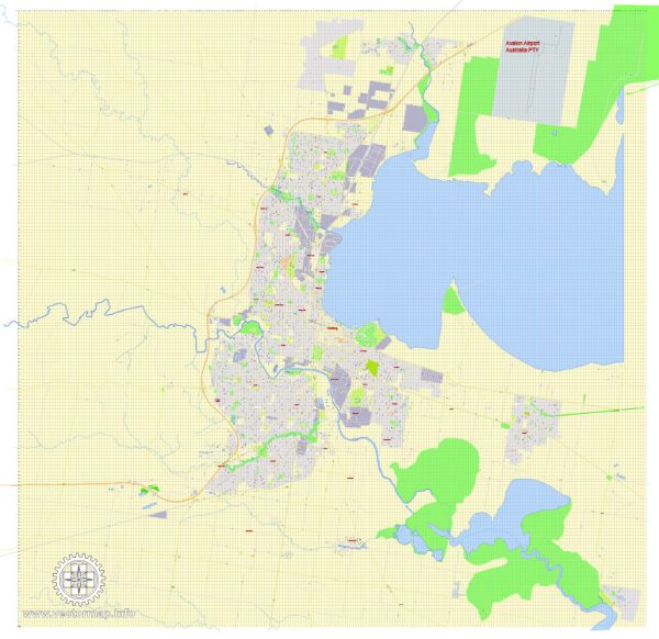
Geelong is a city located in the state of Victoria, Australia. It is situated on the shores of Corio Bay and is approximately 75 kilometers southwest of Melbourne. The city has a well-developed road network, with several principal streets and roads connecting different parts of the city and its surrounding areas. Here are some of the principal streets and roads in Geelong:
- Moorabool Street: This is one of the main north-south streets in Geelong’s central business district (CBD). It is lined with shops, restaurants, and businesses.
- Malop Street: Another important east-west street in the CBD, Malop Street is known for its retail and commercial activities. It intersects with Moorabool Street.
- Ryrie Street: Parallel to Malop Street, Ryrie Street is also a key east-west thoroughfare in the central area of Geelong.
- La Trobe Terrace: Running along the waterfront, La Trobe Terrace offers scenic views of Corio Bay and is home to attractions like Eastern Beach.
- High Street: Connecting the CBD to the northern suburbs, High Street is a major north-south road in Geelong.
- Latrobe Terrace: Located in the eastern part of Geelong, this road runs parallel to La Trobe Terrace and offers access to parks and residential areas.
- Bellarine Highway: This important road connects Geelong to the Bellarine Peninsula, passing through suburbs like Newcomb and Moolap.
- Princes Highway: A major highway that passes through Geelong, the Princes Highway connects the city to Melbourne in the east and other regional centers in the west.
- M1 (Geelong Ring Road): This is a bypass road that allows traffic to circumvent the city center. It connects to the Princes Highway and the Surf Coast Highway.
- Torquay Road (Surf Coast Highway): Connecting Geelong to the popular coastal town of Torquay, this highway is a gateway to the Great Ocean Road.
These are just a few examples, and there are many other streets and roads that form the comprehensive road network in and around Geelong. For the most up-to-date and detailed information, it’s recommended to consult a current map or navigation tool.


 Author: Kirill Shrayber, Ph.D. FRGS