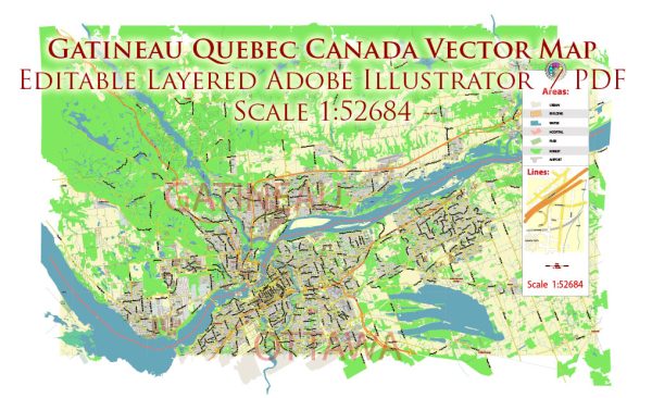
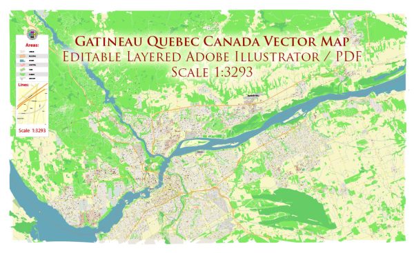
Gatineau is a city located in the Outaouais region of Quebec, Canada. It is situated on the northern bank of the Ottawa River, directly across from Ottawa, the capital of Canada. The city has a well-developed road network that connects various neighborhoods and facilitates transportation within the region.
Here are some principal streets and roads in Gatineau:
- Boulevard des Allumettières: This major boulevard runs along the Ottawa River and provides access to several neighborhoods and commercial areas.
- Boulevard Gréber: Another significant boulevard, it serves as a key east-west route in Gatineau, connecting various communities and providing access to amenities.
- Boulevard Maloney: This road is an important east-west artery, passing through different neighborhoods and serving as a commercial and residential corridor.
- Boulevard Saint-Joseph: Running through the city, Boulevard Saint-Joseph is a major route connecting various districts and offering access to shopping centers and services.
- Chemin d’Aylmer: Aylmer is one of the sectors in Gatineau, and Chemin d’Aylmer is a principal road in this area, connecting residential neighborhoods and providing access to parks and schools.
- Boulevard Alexandre-Taché: Located near the downtown area, this boulevard is a central route with access to cultural and governmental institutions, as well as commercial establishments.
- Chemin de la Montagne: This road leads to Gatineau Park, a large and popular recreational area in the region.
- Chemin Vanier: Connecting various neighborhoods, Chemin Vanier is a local road that serves both residential and commercial areas.
- Rue Laurier: Situated in the Hull sector, Rue Laurier is one of the streets contributing to the urban fabric of the city.
- Chemin Pink: This road runs through the Gatineau Park area and offers access to outdoor activities and natural attractions.
Keep in mind that Gatineau’s road network is more extensive, and there are many other streets and roads that contribute to the city’s transportation infrastructure. For the most up-to-date and detailed information, it’s recommended to consult local maps or online mapping services.


 Author: Kirill Shrayber, Ph.D. FRGS