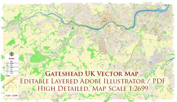
Gateshead is a town in Tyne and Wear, England, located on the southern bank of the River Tyne opposite Newcastle upon Tyne. The town is known for its rich industrial history and cultural attractions. Here are some principal streets and roads in Gateshead:
- High Street:
- High Street is a central thoroughfare in Gateshead, featuring shops, restaurants, and local businesses.
- West Street:
- West Street is another important road in the town, hosting a mix of commercial and residential properties.
- Durham Road:
- Running through the heart of Gateshead, Durham Road is a major route connecting various neighborhoods.
- Askew Road:
- Askew Road is located to the west of the town center and serves as a key route with a range of amenities.
- Sunderland Road:
- This road connects Gateshead to nearby areas, including Sunderland, and is an important transportation link.
- Coatsworth Road:
- Coatsworth Road is known for its local shops, cafes, and community atmosphere.
- Sheriff’s Highway:
- Sheriff’s Highway is a road that runs through the western part of Gateshead, connecting various neighborhoods.
- Bensham Road:
- Bensham Road is situated in the Bensham area and is home to a mix of residential and commercial properties.
- Old Durham Road:
- This road runs through the eastern part of Gateshead and is lined with various establishments.
- Teams Millennium Bridge:
- While not a road, the Teams Millennium Bridge is a notable pedestrian and cycle bridge spanning the River Tyne, connecting Gateshead to the Teams area.
- Saltmeadows Road:
- Saltmeadows Road is located near the River Tyne and features a mix of industrial and residential areas.
These are just a few examples, and there are many more streets and roads that contribute to the road network in Gateshead. If you’re looking for specific details or need the latest information, it’s recommended to check local maps or online resources for the most up-to-date data.


 Author: Kirill Shrayber, Ph.D. FRGS