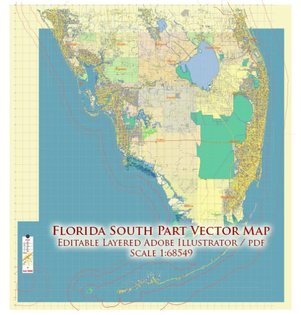
Florida’s southern part is home to several major cities and a network of highways that connect various regions. Here’s an overview of some principal streets and roads in the southern part of Florida, focusing on the major metropolitan areas:
- Miami:
- Interstate 95 (I-95): This major north-south interstate runs through the eastern part of Florida, including Miami. It is a key route for both local and long-distance travel.
- Florida’s Turnpike: A toll road that runs north-south through the state, providing an alternative to I-95. It connects Miami with other major cities in Florida.
- Fort Lauderdale:
- Interstate 595 (I-595): This east-west interstate connects the western suburbs of Fort Lauderdale with the Florida Turnpike and I-95.
- Florida’s Turnpike Extension (Sawgrass Expressway): A toll road that extends from the Florida Turnpike, providing a direct route to the western parts of Broward County.
- West Palm Beach:
- Interstate 95 (I-95): Runs through West Palm Beach, connecting the city with Miami to the south and other major cities to the north.
- Florida’s Turnpike: Connects West Palm Beach with other parts of Florida, including Orlando and Miami.
- Naples/Fort Myers Area:
- Interstate 75 (I-75): A major north-south interstate that runs through the western part of Florida, connecting Naples and Fort Myers with other cities in the state.
- Key West:
- Overseas Highway (US Highway 1): This iconic highway connects the Florida Keys, including Key West, to the mainland. It spans numerous bridges and offers stunning views of the Atlantic Ocean and Gulf of Mexico.
- Tampa/St. Petersburg:
- Interstate 275 (I-275): Connects Tampa and St. Petersburg, passing through the Howard Frankland Bridge over Tampa Bay.
- Sunshine Skyway Bridge: A key bridge connecting St. Petersburg and Sarasota, offering panoramic views of the Gulf of Mexico.
Keep in mind that these are just a few of the major highways, and there are many local roads and streets within each city. Additionally, road infrastructure can change, so it’s advisable to check for the latest maps or navigation apps for the most up-to-date information.


 Author: Kirill Shrayber, Ph.D.