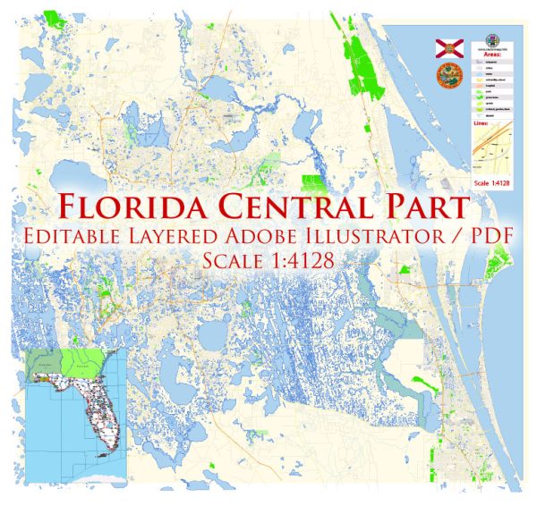
Central Florida, particularly the Orlando area, is known for its well-planned road network, designed to accommodate the region’s significant tourism and population growth. Orlando, often referred to as “The City Beautiful,” is the largest city in Central Florida and a major tourist destination. Here are some principal streets and roads in the Central Florida and Orlando area:
- Interstate 4 (I-4):
- Description: Interstate 4 is a major east-west highway that connects Tampa on the west coast with Daytona Beach on the east coast, passing through Orlando in the process. It is a crucial artery for both local commuters and tourists heading to theme parks and attractions.
- Florida’s Turnpike:
- Description: The Florida Turnpike is a toll road that runs north-south through the state, passing through Central Florida. It provides a direct route for travelers coming from the south or north. The Central Florida area is served by several exits along the Turnpike.
- State Road 408 (East-West Expressway):
- Description: SR 408, also known as the East-West Expressway, is a tolled expressway that runs east-west through Orlando. It provides a convenient route for commuters traveling between the eastern and western parts of the city.
- State Road 528 (Beachline Expressway):
- Description: SR 528, or the Beachline Expressway, is another important east-west route that connects Orlando to the east coast, including Cape Canaveral and Cocoa Beach. It is a vital corridor for both tourism and commerce.
- International Drive (I-Drive):
- Description: International Drive is a major north-south thoroughfare in the Orlando area, known for its concentration of hotels, restaurants, and entertainment options. It is often considered the tourist corridor, hosting many attractions and convention centers.
- Orange Avenue:
- Description: Orange Avenue is a prominent north-south street in downtown Orlando. It runs through the heart of the city and is lined with shops, restaurants, and cultural institutions.
- Colonial Drive (State Road 50):
- Description: Colonial Drive, also known as State Road 50, is a major east-west thoroughfare that traverses through Orlando. It connects the downtown area with the eastern suburbs and the University of Central Florida.
- John Young Parkway:
- Description: John Young Parkway is a north-south road that runs through Orlando, serving as a key transportation corridor. It intersects with major east-west roads and provides access to various neighborhoods and commercial areas.
- Florida State Road 436 (Semoran Boulevard):
- Description: SR 436, also known as Semoran Boulevard, is a significant road that runs north-south through the eastern suburbs of Orlando. It connects the Orlando International Airport with other parts of the city.
These roads play a crucial role in facilitating transportation and connecting various neighborhoods, attractions, and business districts within the Central Florida region. Keep in mind that road networks can evolve, and it’s advisable to check for any updates or changes in the local transportation infrastructure.


 Author: Kirill Shrayber, Ph.D.