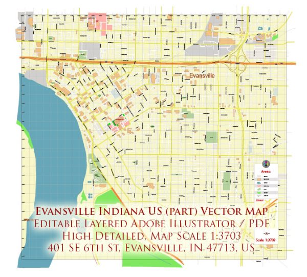
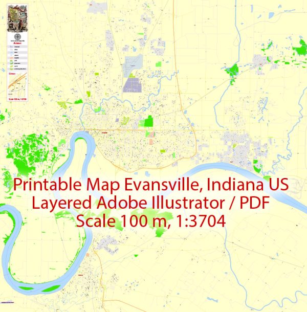
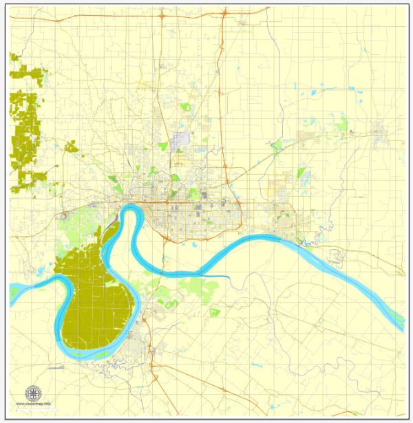
A general overview of some principal streets and roads in Evansville, Indiana. Here are some notable streets and roads in Evansville:
- Main Street: Main Street is a major east-west thoroughfare running through downtown Evansville. It is home to various businesses, shops, and restaurants.
- Riverside Drive: Running along the Ohio River, Riverside Drive provides scenic views and access to the riverfront area, including parks and recreational spaces.
- Lloyd Expressway (Highway 66): The Lloyd Expressway is a significant east-west route that traverses the city, connecting the east and west sides of Evansville.
- Green River Road: This north-south road is an important commercial corridor with shopping centers, restaurants, and various businesses.
- Burkhardt Road: Running through the east side of Evansville, Burkhardt Road is a notable north-south route connecting different neighborhoods and commercial areas.
- Boeke Road: Boeke Road is another north-south thoroughfare that intersects with the Lloyd Expressway and provides access to residential and commercial areas.
- First Avenue: First Avenue runs north-south through Evansville and is home to various businesses, schools, and residential neighborhoods.
- Walnut Street: Walnut Street is located in downtown Evansville and is known for its historic architecture, businesses, and cultural institutions.
- Cross Pointe Boulevard: This road is situated on the east side of Evansville and is home to shopping centers, restaurants, and other businesses.
- Highway 41: Although not within city limits, Highway 41 is a major north-south route that passes near Evansville, providing access to the city and connecting it to other regions.
It’s important to check for updates or changes in road layouts and infrastructure, as these details can evolve over time. For the most accurate and current information, consider consulting local maps, navigation apps, or the city’s official website.

 Author: Kirill Shrayber, Ph.D. FRGS