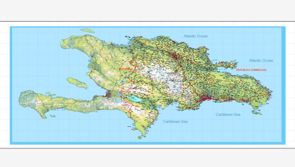
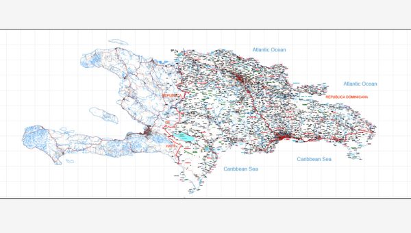
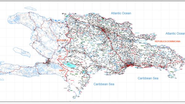
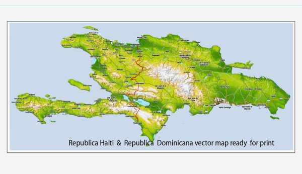
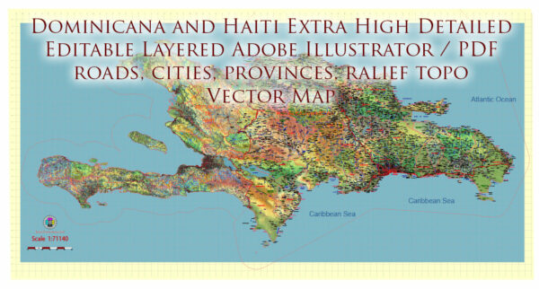
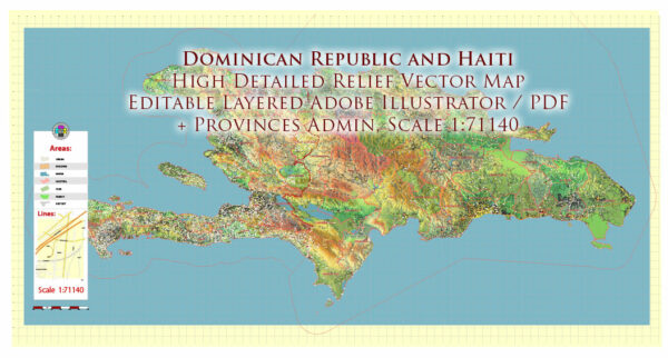
Some general information about the principal waterways and main roads in the Dominican Republic and Haiti. However, please note that specific details may have changed since then, so it’s a good idea to verify the information with more recent sources.
Dominican Republic:
- Principal Waterways:
- The Dominican Republic is located on the island of Hispaniola, which it shares with Haiti. The country has several rivers and waterways, with the Yaque del Norte being the longest river.
- Other significant rivers include the Yaque del Sur and Yuna rivers.
- Main Roads:
- The Dominican Republic has an extensive road network, with a system of highways and roads connecting major cities and regions.
- Autopista Duarte is a major highway that runs from Santo Domingo, the capital, to the northwestern part of the country, passing through cities like Santiago de los Caballeros.
- Autopista Las Américas connects Santo Domingo to the eastern part of the country and the Punta Cana region.
- Carretera Sánchez is another important road, running from Santo Domingo to the southwestern part of the country.
Haiti:
- Principal Waterways:
- Haiti, like the Dominican Republic, has several rivers, but its most significant waterway is the Artibonite River, which is the longest river in the country.
- Other notable rivers include the Grande-Anse River and the Trois-Rivières.
- Main Roads:
- Haiti’s road infrastructure is not as developed as that of the Dominican Republic, and road conditions can vary.
- National Route 1 (Route Nationale 1) is a major highway that runs from the Dominican border in the north to the southern coast, passing through Port-au-Prince, the capital.
- National Route 2 (Route Nationale 2) connects the capital to the northern part of the country, including Cap-Haïtien.
- Road conditions and infrastructure can be challenging in some areas, and caution is advised when traveling.
Please check with local sources or more recent maps for the latest information on waterways and roads in both the Dominican Republic and Haiti.

 Author: Kirill Shrayber, Ph.D.