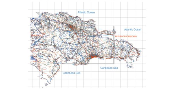
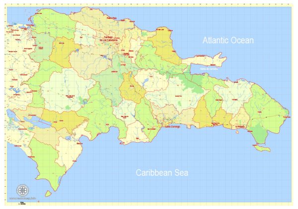
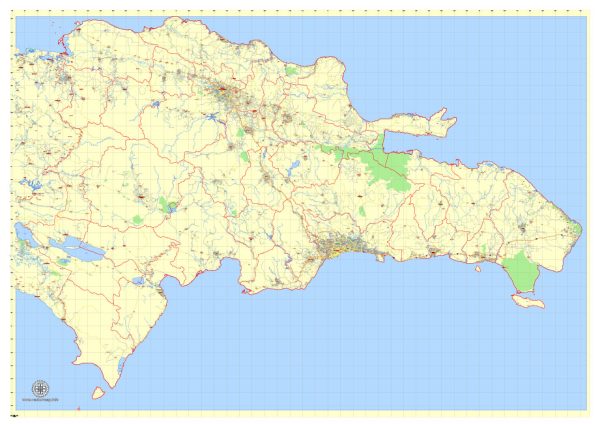
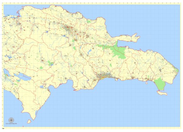
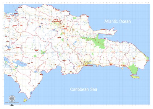
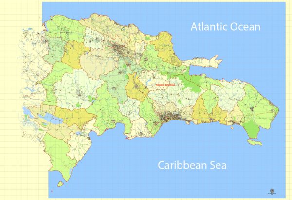
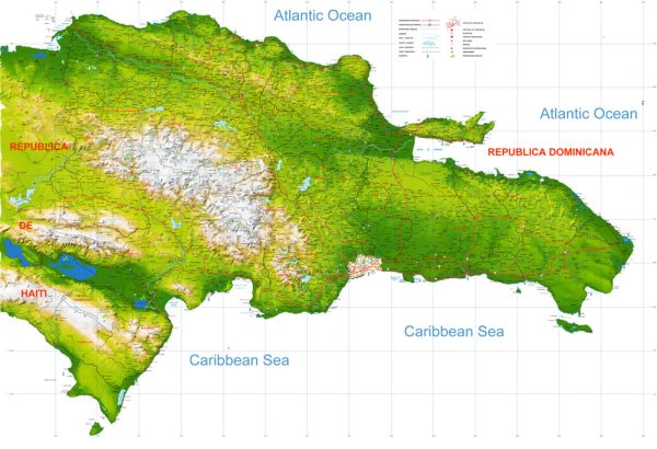
The Dominican Republic, located on the island of Hispaniola in the Caribbean, has several significant waterways and a well-developed road network. Here’s an overview of the country’s principal waterways and main roads:
Waterways:
- Yaque del Norte River:
- The longest river in the Dominican Republic, Yaque del Norte, flows from the central mountain region to the northwest, eventually emptying into the Atlantic Ocean.
- Yaque del Sur River:
- This river originates in the central mountain range and flows southwestward, reaching the Caribbean Sea.
- Yuna River:
- The Yuna River flows from the central region to the northeast, reaching the Bay of Samaná on the northern coast.
- Ozama River:
- Flowing through the capital city of Santo Domingo, the Ozama River is crucial to the country’s transportation and commerce. It empties into the Caribbean Sea.
Main Roads:
- Autopista Duarte (DR-1):
- This is one of the most important highways, connecting the capital city of Santo Domingo in the south to the city of Santiago in the north. It continues to the border with Haiti.
- Autovía del Este (DR-3):
- Running east from Santo Domingo, this highway connects the capital to the eastern regions of the country, including the tourist destinations of La Romana and Punta Cana.
- Carretera Sánchez (DR-44):
- Heading west from Santo Domingo, this road leads to the southwestern cities of Azua and Barahona.
- Carretera Mella (DR-5):
- Connecting Santo Domingo to the eastern provinces, this road is an important route for transportation and commerce.
- Autopista Las Américas (DR-3):
- Extending east from Santo Domingo, this highway is a key route to the Las Américas International Airport and the eastern coastal areas.
- Carretera Samaná (DR-7):
- Running north from Santo Domingo to the Samaná Peninsula, this road provides access to the scenic northeastern part of the country.
- Carretera Nagua-Sánchez (DR-5):
- This road connects the northern cities of Nagua and Sánchez, facilitating transportation along the northern coastline.
- Carretera Barahona-Enriquillo (DR-44):
- Running through the southwestern region, this road connects Barahona to the Enriquillo Basin area.
These waterways and roads play a crucial role in the transportation and economic activities of the Dominican Republic, facilitating the movement of goods and people throughout the country.

 Author: Kirill Shrayber, Ph.D. FRGS