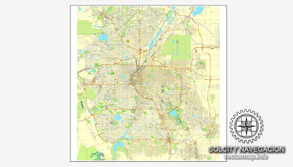
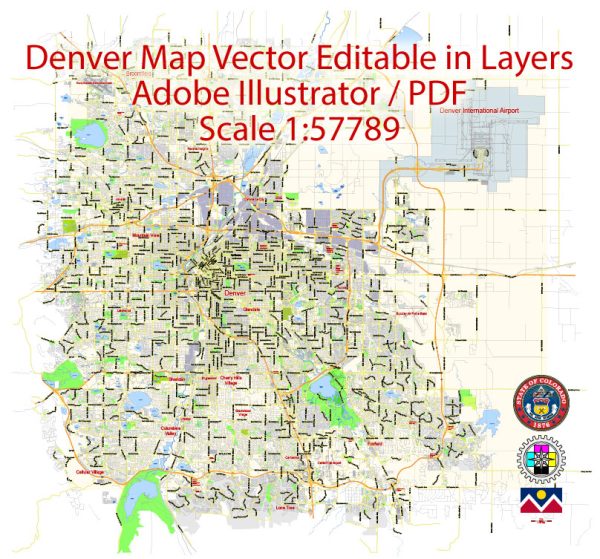
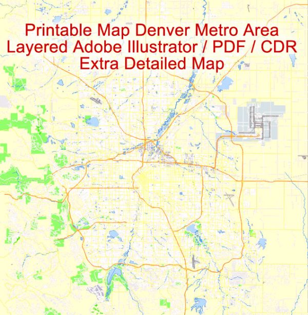
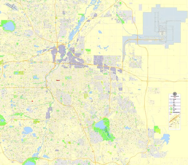
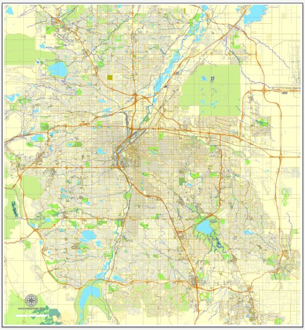
Denver, Colorado, is a city with a well-organized street grid, and its layout is relatively easy to navigate. Here are some of the principal streets and roads in Denver:
- Colfax Avenue: Often referred to as the longest continuous street in America, Colfax Avenue stretches across the entire Denver metropolitan area. It is a major east-west thoroughfare with a mix of commercial, residential, and cultural attractions.
- Broadway: Broadway is a significant north-south street that runs through the heart of Denver. It passes through various neighborhoods, including the Baker and Capitol Hill districts, offering a mix of shops, restaurants, and entertainment venues.
- Speer Boulevard: This is a major parkway that runs diagonally through Denver. It connects the northwest and southeast parts of the city, passing through downtown and providing access to the Cherry Creek neighborhood.
- Interstate 25 (I-25): I-25 is a major north-south interstate highway that runs through Denver, connecting the city with other major cities in Colorado and beyond. It intersects with I-70 in the heart of Denver.
- Interstate 70 (I-70): I-70 is a key east-west interstate highway that passes through Denver, connecting the city to the Rocky Mountains and cities like Aurora and Lakewood.
- Park Avenue: Park Avenue is another north-south street in Denver, running parallel to Broadway. It’s known for its proximity to the Denver Union Station and the surrounding redevelopment.
- 17th Street: Located in downtown Denver, 17th Street is known as the “Wall Street of the West” due to the concentration of financial institutions and business offices.
- Larimer Street: This historic street is located in the LoDo (Lower Downtown) area and is famous for its vibrant nightlife, restaurants, and boutiques.
- Cherry Creek Drive: Running along the Cherry Creek, this road connects the Cherry Creek neighborhood to downtown Denver. Cherry Creek is known for its upscale shopping and dining options.
- Federal Boulevard: Federal Boulevard is a major north-south street that runs through various neighborhoods, offering a diverse mix of businesses, restaurants, and cultural attractions.
Remember that Denver’s street grid is organized in a numerical system, with streets running north-south and avenues running east-west. Addresses are often based on their distance from the intersection of Broadway and Colfax Avenue in downtown Denver. This grid system makes navigation relatively straightforward in the city.

 Author: Kirill Shrayber, Ph.D.